
Population 27,706 (2015 est) Mayor Cr Jeanette Harding Founded 1994 Gazetted 2 December 1994 | Established 1994 Region Eastern Victoria Area 3,305 km² Federal division Division of McMillan | |
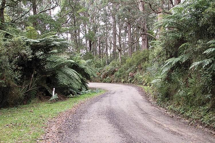 | ||
Points of interest Wilsons Promontory National, Great Southern Rail Trail, Agnes Falls, Squeaky Beach, Cape Liptrap Coastal P Destinations | ||
The Shire of South Gippsland is a local government area in Victoria, Australia, located in the south-eastern part of the state. It covers an area of 3,305 square kilometres (1,276 sq mi) and, at the 2011 Census, had a population of 27,208. It includes the towns of Leongatha, Korumburra, Foster, Poowong and Mirboo North. It was formed in 1994 from the amalgamation of the former Shire of South Gippsland with the Shire of Mirboo, and parts of the Shire of Korumburra and Shire of Woorayl.
Contents
- Map of South Gippsland VIC Australia
- Current composition
- Administration and governance
- Townships and localities
- References
Map of South Gippsland, VIC, Australia
The Shire is governed and administered by the South Gippsland Shire Council; its seat of local government and administrative centre is located at the council headquarters in Leongatha, it also has a service centre located in Mirboo North. The Shire is named after the Gippsland region, in which the LGA occupies the southernmost portion, including Wilsons Promontory at the southern tip of the Australian continent.
Current composition
The council is composed of three wards and nine councillors, with three councillors per ward elected to represent each ward.
Administration and governance
The council meets in the council chambers at the council headquarters in the Leongatha Municipal Offices, which is also the location of the council's administrative activities. It also provides customer services at both its administrative centre in Leongatha, and its service centre in Mirboo North.
Townships and localities
Towns as defined by the Council
Localities as defined by the Council