
Postcode(s) 3960 Population 382 (2011 census) Federal division Division of McMillan | Postal code 3960 | |
 | ||
Yanakie is a small, coastal township and district in South Gippsland, in the state of Victoria, south-eastern Australia.
Contents
Map of Yanakie VIC 3960, Australia
Description
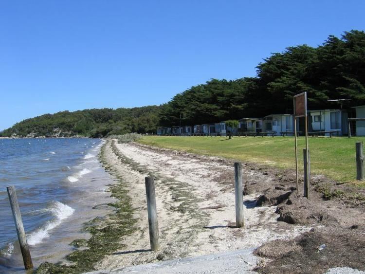
As the nearest town to the major tourist destination of Wilsons Promontory National Park, Yanakie has several caravan parks with boat ramps, the main accommodation offered is self-contained cabins e.g. Coastal View Cabins, most offer excellent Prom views, also B&Bs, and other forms of accommodation include camping. There is a general store with a fuel outlet, a CFA station and a community hall. Yanakie lies between Corner and Shallow Inlets on the Meeniyan-Promontory Road. At the 2006 census, Yanakie had a population of 270.
The main activity in the surrounding area is intensive dairy farming, mainly because of its good and reliable rainfall. The area has a picturesque location with views towards the northern end of the Promontory, and towards the Toora Hills and wind farm across Corner Inlet.
History
The area was one of the last to be settled in rural Victoria. Just south of the township, one can see the Yanakie drain, which was built to drain water from a large swamp prior to settlement and runs from near the national park boundary to empty into Shallow Inlet. The Post Office opened on 5 December 1892 and closed in 1952.