
Population 2,847 Sovereign state United Kingdom Local time Monday 9:06 PM | OS grid reference SX697603 Post town SOUTH BRENT Dialling code 01364 | |
 | ||
Weather 9°C, Wind NE at 18 km/h, 83% Humidity | ||
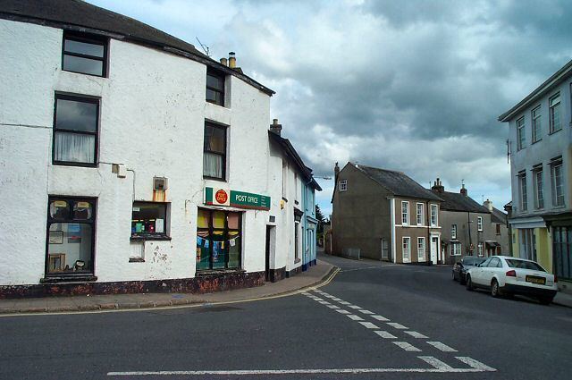
Visit the packhorse inn south brent devon
South Brent is a large village on the southern edge of Dartmoor, England, in the valley of the River Avon. It has a population of 2998 (2000) which decreased to 2,850 at the 2011 census. It is five miles (8 km) north-east of Ivybridge, and next to the Devon Expressway which connects Exeter 32 mi (51 km) to the north-east and Plymouth 18 mi (29 km) to the west. There is an electoral ward of the same name whose population at the 2011 census was 2,559.
Contents
- Visit the packhorse inn south brent devon
- Map of South Brent UK
- Sustainable south brent woodland day feb 2011
- History
- Scope and features
- South Brent FC
- References
Map of South Brent, UK
Sustainable south brent woodland day feb 2011
History
It was originally a woollen and market centre with two annual fairs. Now the village centre is within the boundaries of Dartmoor National Park, and it is a thriving community with shops, public houses, businesses, school, village hall and community centre.
The Brent railway station was opened on the South Devon Railway on 15 June 1848. It served as the junction for the branch line to Kingsbridge from 19 December 1893. The station closed in 1964, though for some years there has been a movement to reopen it in order to reduce commuter traffic on the roads. South Brent United is the local football team established in 1931.
Scope and features
The parish includes the small hamlets of Aish, Harbourneford, Lutton, Brent Mill, and many scattered farmhouses. On Brent Hill, the steep hill just outside the village from which it takes its name (Old English brant – steep), are the ruins of an ancient building, supposed to have been a chapel, and of a windmill, built about 1790. On the high moorlands are many hut circles, enclosures, and barrows, all dating from the Bronze Age. The manor of Brent belonged to Buckfast Abbey from the time of the foundation of the abbey in the early 11th century and was bought at the Dissolution by Sir William Petre, a large receiver of monastic spoils in South Devon. The panoramic view from the top of the hill is one of the most impressive in the county.
The massive Norman tower of St Petroc’s Church (now at the west end) was apparently the central tower of a cruciform building, the west portion of which was demolished at some date, perhaps in the early 14th century when the existing nave was rebuilt with two transepts. In the early 15th century these transepts were enlarged into aisles. The fine font, of red sandstone, is late 12th century in date, and is similar in style to others in neighbouring churches. On the south of the churchyard is the manor house, part of which is 15th century in date. In 1436 the vicar, the Rev John Hay, was dragged out of the church and murdered while officiating at divine service. The door through which he was taken has been walled up, though the old doorway is just visible.
South Brent primary school supports about 250 children. The buildings are modern and replace the old school which is now a community centre.
South Brent is located just south of Dartmoor. Locals complain that South Brent experiences higher rainfall than surrounding towns and villages. It seems likely that the hills of Dartmoor do affect the microclimate of South Brent.
The Dartmoor historian William Crossing (1847–1928) lived in the village from 1872 onwards.
South Brent FC
The Palstone Park Recreation Ground is where the home of South Brent Football Club can be located. The club compete in the South Devon Football League 2 and are managed by Paul McDonnell.