Kalpana Kalpana (Editor)

South Bay (Livingston Island)

Updated on
Edit
Like
Comment
Share on FacebookTweet on TwitterShare on LinkedInShare on Reddit
South Bay (Livingston Island)

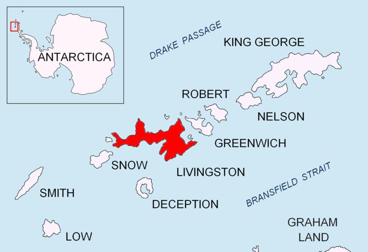
South Bay (62°40′S 60°28′W) is a 11.6 kilometres (7.2 mi) wide bay indenting for 12.5 kilometres (7.8 mi) the south coast of Livingston Island in the South Shetland Islands, Antarctica. The bay is lying northwest of False Bay and east of Walker Bay, and is entered between Hannah Point and Miers Bluff. The glaciers Kamchiya, Pimpirev, Perunika, Contell, Johnsons and Hurd Ice Cap feed the bay.

South Bay was known to both American and British sealers as early as 1820, and the name has been well established in international usage for over 100 years.

Maps

  • South Shetland Islands. Scale 1:200000 topographic map No. 5657. DOS 610 – W 62 60. Tolworth, UK, 1968.
  • Islas Livingston y Decepción. Mapa topográfico a escala 1:100000. Madrid: Servicio Geográfico del Ejército, 1991.
  • L.L. Ivanov et al. Antarctica: Livingston Island and Greenwich Island, South Shetland Islands. Scale 1:100000 topographic map. Sofia: Antarctic Place-names Commission of Bulgaria, 2005.
  • L.L. Ivanov. Antarctica: Livingston Island and Greenwich, Robert, Snow and Smith Islands. Scale 1:120000 topographic map. Troyan: Manfred Wörner Foundation, 2009. ISBN 978-954-92032-6-4
  • Antarctic Digital Database (ADD). Scale 1:250000 topographic map of Antarctica. Scientific Committee on Antarctic Research (SCAR), 1993–2016.
  • References

    South Bay (Livingston Island) Wikipedia