
 | ||
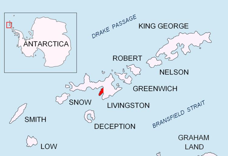
Contell Glacier is the 2 km (1.2 mi) long and 700 m (2,300 ft) wide glacier on Hurd Peninsula, Livingston Island in the South Shetland Islands, Antarctica bounded by Atlantic Club Ridge to the northwest, Krum Rock to the north, Balkan Snowfield to the northeast, and Charrúa Ridge and Charrúa Gap to the south. It is crescent-shaped, running northwestwards in its upper course, then between Charrúa Ridge and Krum Rock turning west-southwestwards to flow into South Bay north of Johnsons Dock.
Contents
Map of Contell Glacier, Antarctica
The feature was first named on a 1988 Spanish chart as Glaciar Contell.
Location
The midpoint of the glacier is located at 62°39′04″S 60°21′00″W (Detailed Spanish mapping in 1991, and Bulgarian mapping in 1996, 2005 and 2009).
Maps
References
Contell Glacier Wikipedia(Text) CC BY-SA