
Length 207.6 km | ||
 | ||
History: Expected designation in 2017Expected completion in 2021 | ||
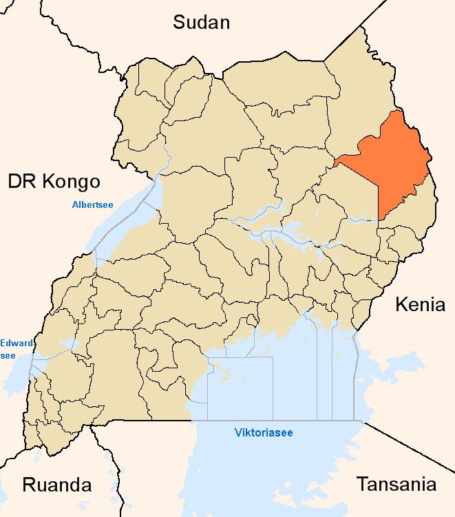
Soroti–Katakwi–Moroto–Lokitanyala Road is a road in the Eastern and Northern regions of Uganda. The road connects the towns of Soroti, the largest town in Teso sub-region, to Katakwi, the district headquarters of Katakwi District and to Moroto, the largest town in the Karamoja sub-region. It ends at Lokitanyala, at the international border with Kenya.
Contents
Location
The road starts at Soroti and continues northeastwards through Katakwi, and on to Moroto. The distance between Soroti and Moroto is approximately 171 kilometres (106 mi). At Moroto, the road takes a southeasterly direction for approximately 37 kilometres (23 mi), to end at Lokitanyala, for a total road distance of 208 kilometres (129 mi).
Upgrading to bitumen
The existing road is gravel surfaced, pot-holed, and in poor general state. As far back as 2009, this road appears on the list of roads earmarked for upgrade from gravel surface to class II bitumen surface, with shoulders, drainage channels, and culverts. As at January 2016, this road remains on the list of roads yet to be upgraded.