
 | ||
Lokitanyala, Uganda is a settlement in the Moroto District in the Northern Region of Uganda. It lies directly across from Lokitanyala, Kenya, separated by the international border between Uganda and Kenya.
Contents
Location
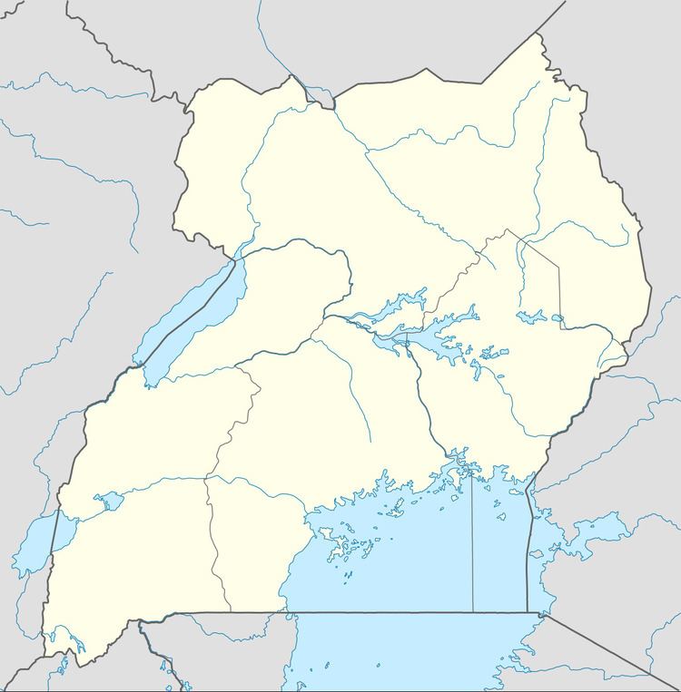
The settlement is in the Karamoja sub-region and is approximately 40 kilometres (25 mi), by road, southeast of Moroto, the nearest large town and the location of the district headquarters. The coordinates of Lokitanyala are 2°21'53.0"N, 34°55'13.0"E (Latitude:2.364728; Longitude:34.920284).
Overview
The town is one of the end points of the 208 kilometres (129 mi) Soroti–Katakwi–Moroto–Lokitanyala Road. The town is a border crossing between Uganda and neighboring Kenya.
References
Lokitanyala, Uganda Wikipedia(Text) CC BY-SA