
Time zone EAT (UTC+3) Local time Saturday 3:03 AM | Elevation 1,100 m | |
 | ||
Weather 22°C, Wind S at 5 km/h, 71% Humidity | ||
Usuk mp bemoans katakwi famine
Katakwi is a town in the Eastern Region of Uganda. It is the main municipal, administrative, and commercial center of Katakwi District and the site of the district headquarters.
Contents
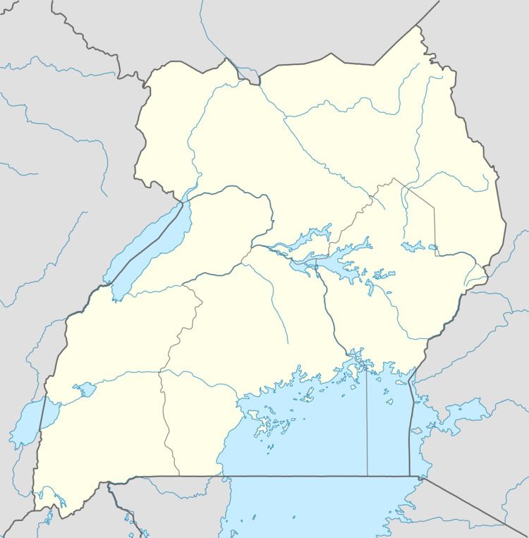
Map of Katakwi, Uganda
Location
Katakwi is approximately 53 kilometres (33 mi), by road, northeast of Soroti, the largest town in the Teso sub-region. This is about 150 kilometres (93 mi), by road, northwest of Mbale, the largest city in the Eastern Region. Katakwi is approximately 338 kilometres (210 mi), by road, northeast of Kampala, the capital of Uganda and its largest city. The coordinates of the town are 01°54'54.0"N, 33°57'18.0"E (Latitude:1.9150; Longitude:33.9550).
Population
The 2002 national census estimated the town's population at 5,900. In 2010, the Uganda Bureau of Statistics (UBOS) estimated the population at 8,100. In 2011, UBOS estimated the population at 8,400 people.
Points of interest
The following additional points of interest lie within the town limits or close to the edges of town: