
Local time Monday 11:40 AM | Elevation 1,080 m Number of airports 1 | |
 | ||
Weather 30°C, Wind E at 8 km/h, 46% Humidity | ||
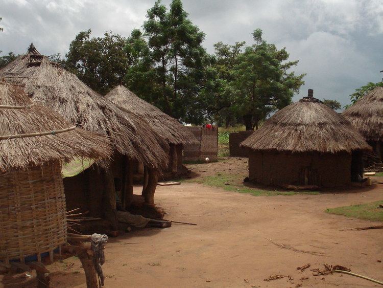
Beautiful uganda soroti town
Soroti is the main municipal, commercial, and administrative centre of Soroti District in the Eastern Region of Uganda, lying near Lake Kyoga. It is known for the rock formation near the town.
Contents
- Beautiful uganda soroti town
- Map of Soroti Uganda
- Location
- Soroti Airport
- Population
- Points of interest
- References
Map of Soroti, Uganda
Location
Soroti is approximately 112 kilometres (70 mi), by road, northwest of the city of Mbale on the highway between Mbale and Lira. The coordinates of Soroti town are 1°42'54.0"N, 33°36'40.0"E (Latitude:1.7150; Longitude:33.6111).
Soroti Airport
Soroti Airport has the third longest paved runway in Uganda at 6,100 feet (1,900 m). The longest paved runway in Uganda, measuring 12,000 feet (3,700 m), is at Entebbe International Airport.
Population
The 2002 national population census estimated the population of Soroti at 41,600. In 2010, the Uganda Bureau of Statistics (UBOS) estimated the population at 62,600. In 2011, UBOS estimated the mid-year population of Soroti at 66,000. In August 2014, the national population census put Soroti's population at 49,452.
Points of interest
The following points of interest are located in Soroti or near the town limits: