
 | ||
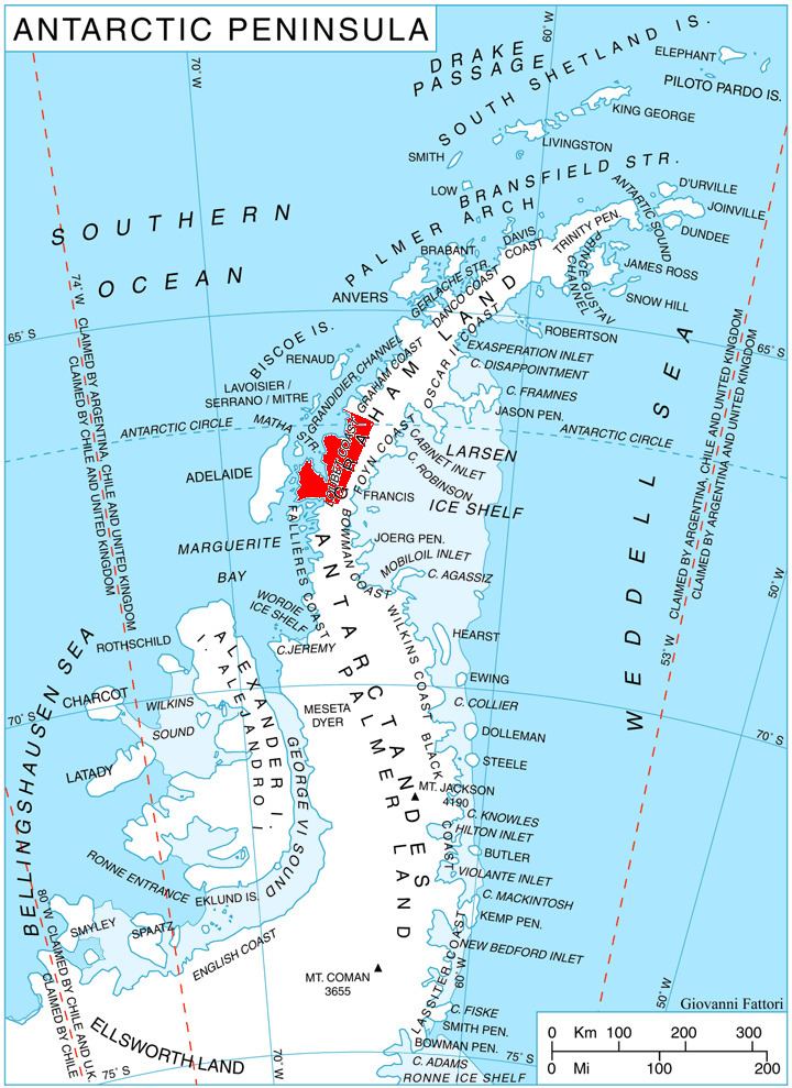
Sherba Ridge (Bulgarian: рид Шерба, ‘Rid Sherba’ \'rid 'sher-ba is the ice-covered ridge extending 13 km in southeast-northwest direction, 6 km wide and rising to 2100 m in the west foothills of Avery Plateau on Loubet Coast in Graham Land, Antarctica. It has steep and partly ice-free southwest, north and east slopes, and surmounts Widdowson Glacier to the southwest, Darbel Bay to the northwest, and Drummond Glacier to the northeast and east.
Contents
The ridge is named after the locality of Sherba in eastern Balkan Mountains.
Location
Sherba Ridge is centred at 66°45′23″S 65°34′50″W, which is 13.4 km east-southeast of Rubner Peak, 11.2 km south of Voit Peak and 6.68 km west of Zilva Peaks. British mapping in 1976.
Maps
References
Sherba Ridge Wikipedia(Text) CC BY-SA