
Country United States Elevation 232 m Population 1,096 (2010) | GNIS feature ID 0453855 Area 67.21 km² Local time Friday 5:41 PM | |
 | ||
Weather 24°C, Wind S at 21 km/h, 42% Humidity | ||
Smyrna Township is one of ten townships in Jefferson County, Indiana, United States. As of the 2010 census, its population was 1,096 and it contained 466 housing units.
Contents
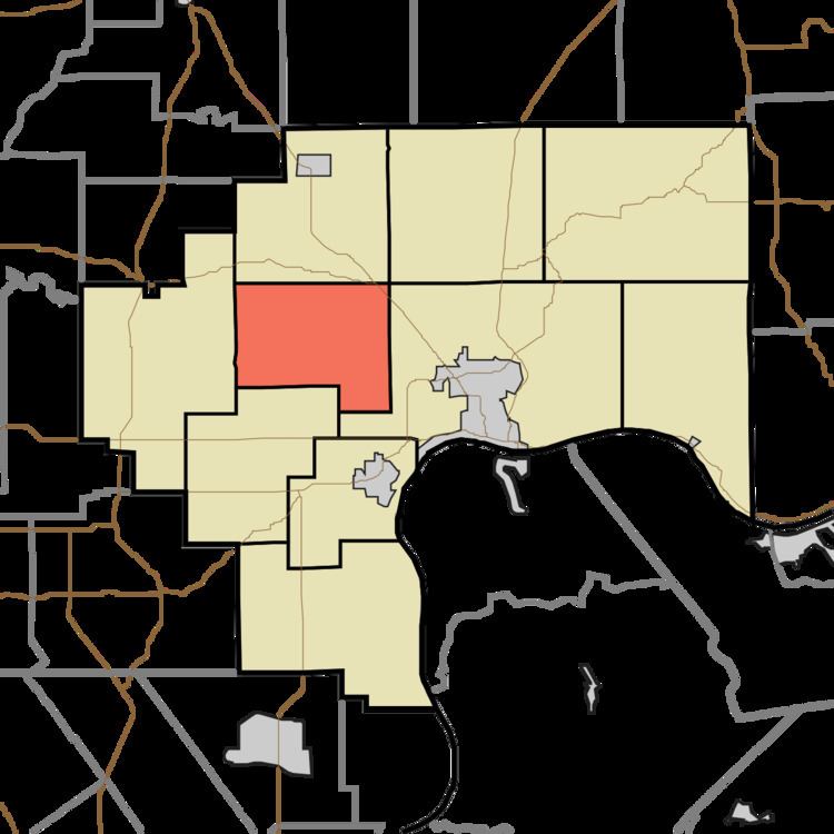
- Map of Smyrna Township IN USA
- Geography
- Unincorporated towns
- Adjacent townships
- Cemeteries
- Major highways
- References
Map of Smyrna Township, IN, USA
Created on June 16, 1847 by the Jefferson County Commissioners, Smyrna was the last of Jefferson County's 10 townships to be formed. It is largely rural with only small unincorporated areas as population centers.
No post offices operate in the township.
The following post offices once operated in the township: Creswell (May 29, 1856-Nov. 30, 1892) and (June 6, 1893-Sept. 13, 1902); Volga (May 29, 1856-July 14, 1904); Wakefield (July 8, 1899-Feb. 15, 1905). 6.
Geography
According to the 2010 census, the township has a total area of 25.95 square miles (67.2 km2), of which 25.93 square miles (67.2 km2) (or 99.92%) is land and 0.02 square miles (0.052 km2) (or 0.08%) is water. The streams of Goose Creek, Harberts Creek and Hensley Creek run through this township.
Unincorporated towns
Adjacent townships
Cemeteries
The township contains the following cemeteries: Brown (Sauer farm) Ford, Hopewell, Kinnear, Lawler (1) and Lawler (2), Lowe, McKay-Stites, Neavill, Shiloh, and Smyrna Presbyterian.