
Length 39 km Area 69.26 km² | Max. length 39 km (24 mi) Surface elevation 542 m | |
 | ||
Primary inflows Similar Arrow Lakes, Nikkei Internment Memorial, Rocky Mountains, Selkirk Mountains, Moyie | ||
Scuba diving in silverton bc slocan lake
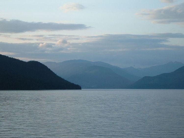
Slocan Lake is a lake in the Slocan Valley of the West Kootenay region of the Southeastern Interior of British Columbia, Canada. it is drained by the Slocan River, which flows south from the lake's foot at Slocan City through the Slocan Valley to South Slocan, British Columbia, where that river meets the Kootenay River a few miles above its confluence with the Columbia. It is fed by Bonanza Creek, which comes down the pass from Summit Lake, beyond which is the town of Nakusp on Upper Arrow Lake.
Contents
- Scuba diving in silverton bc slocan lake
- Map of Slocan Lake British Columbia Canada
- Nemo creek slocan lake bc
- References
Map of Slocan Lake, British Columbia, Canada
In addition to Slocan City (officially now a "village", but usually referred to locally by its old name of Slocan City to distinguish it from Slocan Park and South Slocan), other towns and communities on the lake include the twin communities of New Denver and Silverton, midway up the lake's eastern shore, Rosebery slightly north of them at the mouth of Wilson Creek, and Hills at the lake's north end. To the west of the lake is the Valhalla Range (or "the Valhallas"), most of which is enshrined in Valhalla Provincial Park.
The mountains to the east of Slocan Lake were the focus of the silver rush known as "the Silvery Slocan", during which steamboats and railways penetrated the Kootenay Range east of the lake to Sandon, the "capital" of the rush and the destination of three railways, two from the direction of Slocan Lake via Carpenter Creek, the other via Retallack Pass from Kaslo on Kootenay Lake.
BC Highway 6 follows the eastern shore of Slocan lake from Hills to Slocan City and down the Slocan River from there. The Canadian Pacific rail line from Nakusp via Bonanza Pass now dead-ends at Rosebery Slip, on Slocan Lake, but originally ran into Sandon.