
Country Canada Highways BC 6 Province British Columbia | Area code(s) 250 / 778 / 236 Local time Wednesday 1:48 PM | |
 | ||
Weather 9°C, Wind S at 6 km/h, 74% Humidity | ||
Rosebery is an unincorporated community on the east side of Slocan Lake in the Slocan Valley of the West Kootenay region of southeastern British Columbia, Canada, located north of the Village of New Denver. Rosebery is a largely agricultural, recreation-retirement and resource community, with historical roots in the days of the Silvery Slocan silver-mining rush in the region and was important in the days of railway services in the valley which used the Rosebery Slip, a combined dock and roundtable serving steamboats on Slocan Lake and the Nakusp & Slocan Railway.
Contents
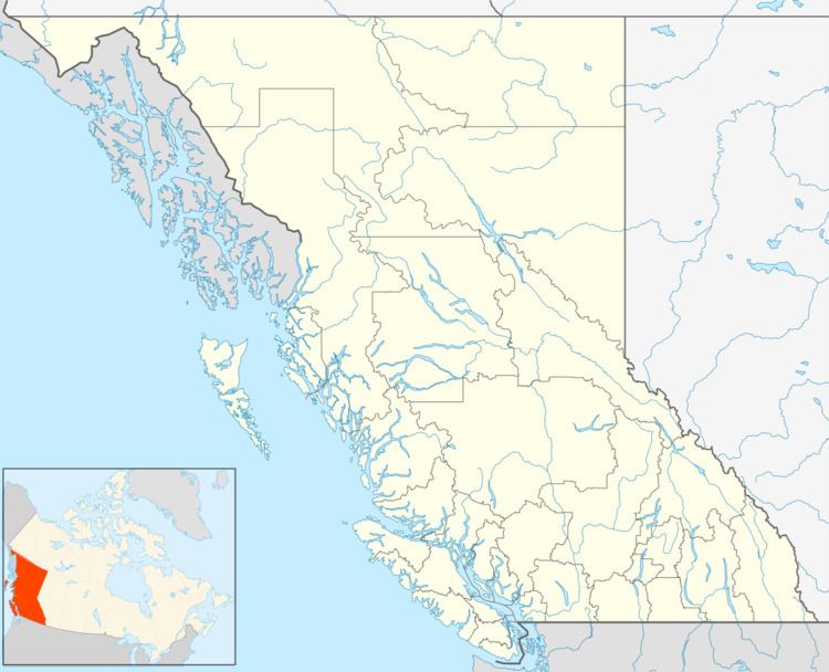
Map of Rosebery, BC, Canada
Japanese Internment
In 1941, Roseberry was selected as one of many sites throughout BC for the internment of Japanese Canadians.
References
Rosebery, British Columbia Wikipedia(Text) CC BY-SA