
Listing Marilyn, Hewitt Topo map OSi Discovery 30 Prominence 582 m | OSI/OSNI grid F650086 Elevation 672 m Province Connacht | |
 | ||
Location Mayo, Republic of Ireland Similar Croaghaun, Slieve Carr, Ben Gorm, Mweelrea, Trusk | ||
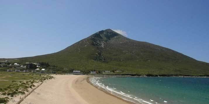
Achill island slievemore
Slievemore (Irish: Sliabh Mór) is the second highest peak on Achill Island after Croaghaun, in County Mayo, Ireland. Its elevation is 671 metres.
Contents
Map of Slievemore, Doogort West, Co. Mayo, Ireland
Achill island slievemore
Archaeology
Achill Archaeological Field School is based at the Achill Archaeology Centre in Dooagh. It was founded in 1991 and is a training school for students of archaeology and anthropology. The school is involved in a study of the prehistoric and historic landscape at Slievemore, incorporating a research excavation at a number of sites within the Deserted Village of Slievemore. The Deserted Village Project started in 1991 with the research objective of completing a thorough archaeological survey of all sites and monuments (prehistoric and historic) that make up the diverse and significant archaeological landscape of Slievemore. Slievemore is rich in archaeological monuments that span a 5000-year period from the Neolithic until at least the 1850s.