
Population 282 (2011) Civil parish Sleagill Dialling code 01931 | OS grid reference NY5919 Sovereign state United Kingdom | |
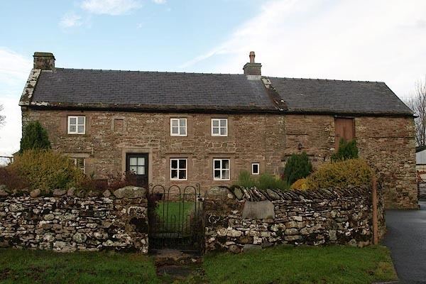 | ||
Sleagill is a small village and civil parish in the Eden District of Cumbria, England. The population as taken at the 2011 census was 282.
Contents
Map of Sleagill, Penrith, UK
Location
The village is about 8 miles (13 km) from the large town of Penrith and about 5 miles (8.0 km) from the small town of Appleby-in-Westmorland.
Amenities
Sleagill has one place of worship.
Transport
For transport there is the A6, the A66 and the M6 motorway a few miles away.
Nearby settlements
Nearby settlements include the large town of Penrith, the small town of Appleby-in-Westmorland, the villages of Morland, Kings Meaburn, Cliburn, Newby and Little Strickland and the hamlets of Littlebeck and Reagill.
References
Sleagill Wikipedia(Text) CC BY-SA