
Population 66 (2001) Civil parish Little Strickland Dialling code 01279 | OS grid reference NY5619 Sovereign state United Kingdom | |
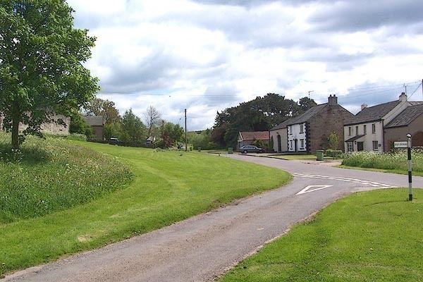 | ||
Little Strickland is a small village and civil parish in the Eden District of Cumbria, England. It is about 7 miles (11 km) from Penrith and 8 miles (13 km) from the small town of Appleby-in-Westmorland. The village has one place of worship and a telephone box. The population of the civil parish as taken at the 2011 Census was less than 100. Details are included in the parish of Great Strickland
Contents
Map of Little Strickland, Penrith, UK
Transport
The village lies 0.5 miles (0.80 km) from the A6 road and the M6 motorway also about 0.5 miles (0.80 km) away but, there is no motorway access point for about 4 miles (6.4 km).
Nearby settlements
Nearby settlements include Penrith, Appleby-in-Westmorland, the villages of Great Strickland, Newby, Hackthorpe, Sleagill and Shap and the hamlets of Thrimby and Sweetholme.
References
Little Strickland Wikipedia(Text) CC BY-SA