
 | ||
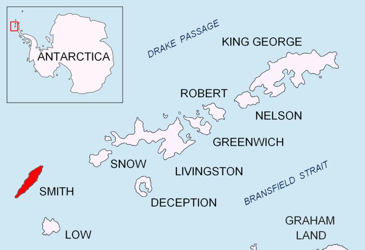
Slatina Peak (Bulgarian: връх Слатина, ‘Vrah Slatina’ \'vr&h 'sla-ti-na) is a peak rising to 1750 m in Imeon Range on Smith Island, South Shetland Islands. Situated 2 km northeast of Antim Peak, to which it is linked by Varshets Saddle, 4.09 km east by south of Villagra Point, and 1.9 km south of Drinov Peak. Overlooking the upper part of Chuprene Glacier to the northwest, and Krivodol Glacier to the southwest and south. Bulgarian early mapping in 2009. Named after the Bulgarian settlements of Slatina in Montana, Lovech, Plovdiv, Silistra and Sofia regions (the last one now part of the city of Sofia).
Contents
Map of Slatina Peak, Antarctica
Map
References
Slatina Peak Wikipedia(Text) CC BY-SA