
 | ||
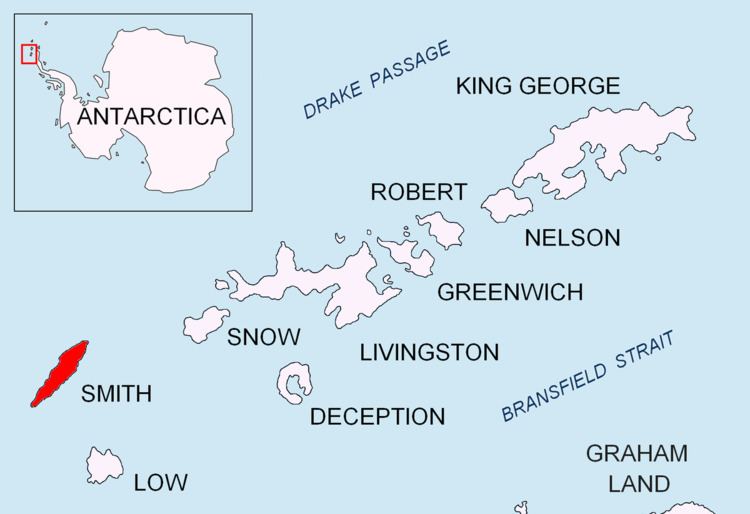
Antim Peak (Bulgarian: Връх Антим, ‘Vrah Antim’ \'vr&h an-'tim) (62°58′53″S 62°31′10″W) is the ice-covered peak rising to 2080 m in Imeon Range on Smith Island in the South Shetland Islands, Antarctica. Situated 2.25 km and 1.3 km northeast of the summit Mount Foster and Evlogi Peak respectively, 5.4 km south-southwest of Mount Pisgah, 16 km southwest of Cape Smith, and 16 km northeast of Cape James. The peak surmounts Chuprene Glacier to the west and northwest, Krivodol Glacier to the northeast and east, and Pashuk Glacier to the southeast. Precipitous and partly ice-free southeast slopes. Confirmed to be a separate peak rather than part of Mount Foster by the team of Greg Landreth that made the first ascent of the latter in 1996.
Contents
Map of Antim Peak, Antarctica
Antim Peak was first ascended by the French mountaineers Mathieu Cortial, Lionel Daudet and Patrick Wagnon on 12 January 2010. Their route called Le vol du sérac (Flight of the Serac) followed the western spur of the peak.
The peak is named after Exarch Antim I (1816–1888), the first head of the Bulgarian Exarchate reestablishing the autocephaly of the Bulgarian Church in 1870.