
Max. width 1 km (0.62 mi) Max. depth 48 m (157 ft) Length 15 km | Max. length 15 km (9.3 mi) Surface area 14.7 km (5.7 sq mi) Area 14.7 km² Width 1 km | |
 | ||
Skorradalsvatn skorradalshreppur drone footage
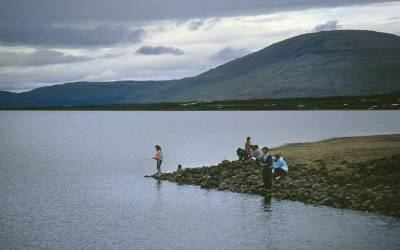
Skorradalsvatn is a lake in the west of Iceland. It is situated in a narrow valley between the Hvalfjörður and the valley Reykholtsdalur (see Reykholt). Its length is about 15 km.
Contents
Map of Skorradalsvatn, Iceland
Around the lake there are some high mountains, for example Skarðsheiði. Unusually for Iceland, the shores of the lake are quite forested due to reforestation started by a governmental initiative. Consequently, the valley looks a bit like some regions in the Alps, for example near Salzburg in Austria.
The lake is also a reservoir so that the level of the water surface has been lifted.
There are no villages on the shores, but a lot of summer houses.
References
Skorradalsvatn Wikipedia(Text) CC BY-SA