
Country United States GNIS feature ID 0453850 Area 103.4 km² Population 1,625 (2010) | ZIP codes 47523, 47601, 47637 Elevation 129 m Local time Thursday 7:33 AM | |
 | ||
Weather 2°C, Wind E at 14 km/h, 56% Humidity | ||
Skelton Township is one of ten townships in Warrick County, Indiana, United States. As of the 2010 census, its population was 1,625 and it contained 635 housing units.
Contents
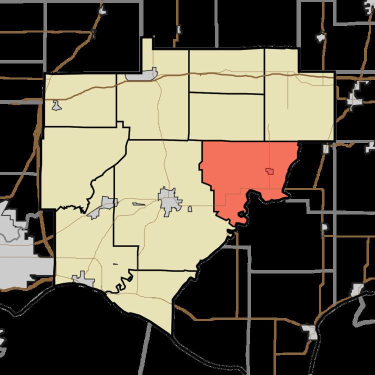
- Map of Skelton Township IN USA
- History
- Geography
- Cities towns villages
- Unincorporated towns
- Adjacent townships
- Cemeteries
- School districts
- Political districts
- References
Map of Skelton Township, IN, USA
History
Skelton Township was organized in about 1820. The township was named for Zachariah Skelton, a local judge.
Geography
According to the 2010 census, the township has a total area of 39.91 square miles (103.4 km2), of which 39.54 square miles (102.4 km2) (or 99.07%) is land and 0.37 square miles (0.96 km2) (or 0.93%) is water.
Cities, towns, villages
Unincorporated towns
(This list is based on USGS data and may include former settlements.)
Adjacent townships
Cemeteries
The township contains these eight cemeteries: Clark, Garrison, Kelley, Mill, Polk, Polk, Reed, Roth and Skelton.
School districts
Political districts
References
Skelton Township, Warrick County, Indiana Wikipedia(Text) CC BY-SA