
Country United States GNIS feature ID 453703 Area 65.99 km² Population 611 (2010) | ZIP codes 47601, 47637 Elevation 148 m Local time Tuesday 2:04 PM | |
 | ||
Weather 15°C, Wind NW at 8 km/h, 75% Humidity | ||
Owen Township is one of ten townships in Warrick County, Indiana, United States. As of the 2010 census, its population was 611 and it contained 249 housing units.
Contents
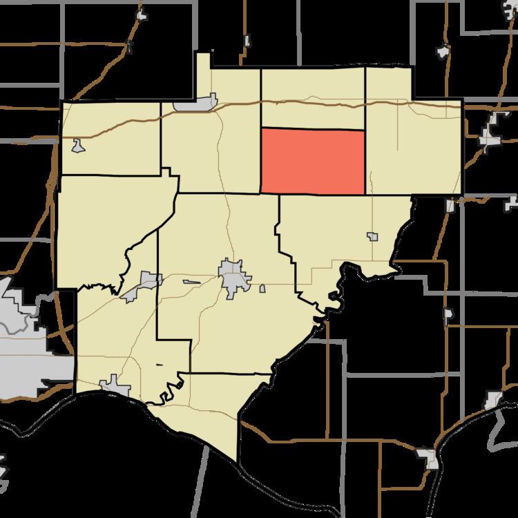
- Map of Owen Township IN USA
- History
- Geography
- Unincorporated towns
- Adjacent townships
- Cemeteries
- Lakes
- School districts
- Political districts
- References
Map of Owen Township, IN, USA
History
Owen Township was organized in 1848, and named for Robert Dale Owen, an Indiana politician.
Geography
According to the 2010 census, the township has a total area of 25.48 square miles (66.0 km2), of which 25.09 square miles (65.0 km2) (or 98.47%) is land and 0.39 square miles (1.0 km2) (or 1.53%) is water.
Unincorporated towns
(This list is based on USGS data and may include former settlements.)
Adjacent townships
Cemeteries
The township contains these four cemeteries: Barrenfork, Leslie, Saint Clair and Shiloh.
Lakes
School districts
Political districts
References
Owen Township, Warrick County, Indiana Wikipedia(Text) CC BY-SA