
Country United States County Warrick Time zone Central (CST) (UTC-6) Area 60 ha Zip code 47637 Local time Wednesday 2:26 AM | State Indiana FIPS code 18-75302 Elevation 124 m Population 283 (2013) Area code 812 | |
 | ||
Weather 11°C, Wind NE at 10 km/h, 88% Humidity | ||
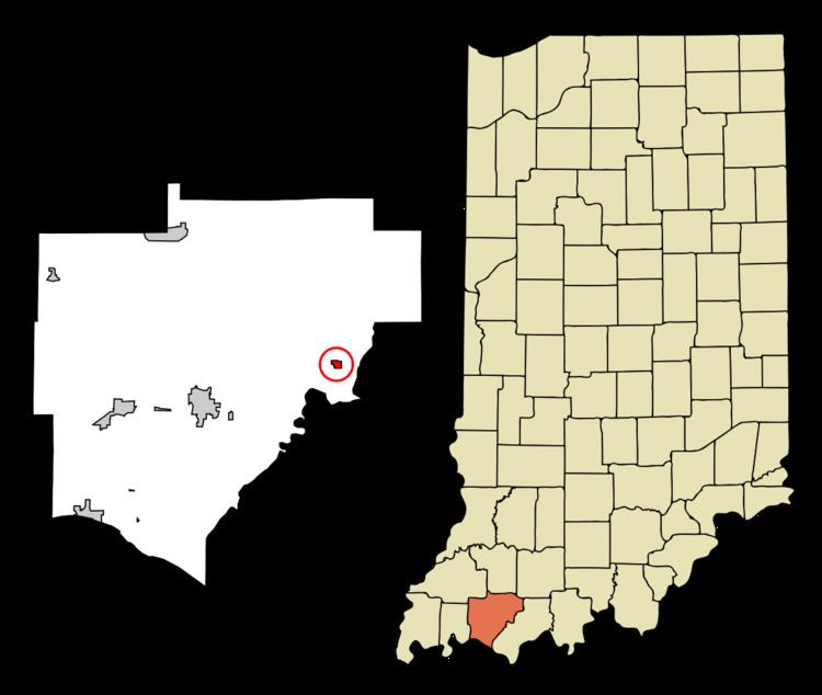
Tennyson is a town in Skelton Township, Warrick County, in the U.S. state of Indiana. The population was 279 at the 2010 census.
Contents
Map of Tennyson, IN 47637, USA
History
A post office has been in operation at Tennyson since 1881. A town plat was made in about 1882. The town was named after Alfred, Lord Tennyson.
Geography
Tennyson is located at 38°4′54″N 87°7′8″W (38.081673, -87.118946).
According to the 2010 census, Tennyson has a total area of 0.23 square miles (0.60 km2), all land.
2010 census
As of the census of 2010, there were 279 people, 106 households, and 75 families residing in the town. The population density was 1,213.0 inhabitants per square mile (468.3/km2). There were 111 housing units at an average density of 482.6 per square mile (186.3/km2). The racial makeup of the town was 99.3% White, 0.4% African American, and 0.4% from other races. Hispanic or Latino of any race were 2.2% of the population.
There were 106 households of which 36.8% had children under the age of 18 living with them, 47.2% were married couples living together, 16.0% had a female householder with no husband present, 7.5% had a male householder with no wife present, and 29.2% were non-families. 20.8% of all households were made up of individuals and 7.6% had someone living alone who was 65 years of age or older. The average household size was 2.63 and the average family size was 2.89.
The median age in the town was 40.1 years. 24.4% of residents were under the age of 18; 8.2% were between the ages of 18 and 24; 22.9% were from 25 to 44; 31.5% were from 45 to 64; and 12.9% were 65 years of age or older. The gender makeup of the town was 50.5% male and 49.5% female.
2000 census
As of the census of 2000, there were 290 people, 105 households, and 82 families residing in the town. The population density was 1,155.1 people per square mile (447.9/km²). There were 111 housing units at an average density of 442.1 per square mile (171.4/km²). The racial makeup of the town was 98.97% White, 0.34% African American, and 0.69% from two or more races. Hispanic or Latino of any race were 0.34% of the population.
There were 105 households out of which 43.8% had children under the age of 18 living with them, 52.4% were married couples living together, 15.2% had a female householder with no husband present, and 21.0% were non-families. 17.1% of all households were made up of individuals and 5.7% had someone living alone who was 65 years of age or older. The average household size was 2.76 and the average family size was 3.08.
In the town, the population was spread out with 29.7% under the age of 18, 9.3% from 18 to 24, 31.7% from 25 to 44, 19.0% from 45 to 64, and 10.3% who were 65 years of age or older. The median age was 34 years. For every 100 females there were 92.1 males. For every 100 females age 18 and over, there were 94.3 males.
The median income for a household in the town was $36,250, and the median income for a family was $36,250. Males had a median income of $25,833 versus $20,000 for females. The per capita income for the town was $13,660. About 13.7% of families and 16.8% of the population were below the poverty line, including 20.2% of those under the age of eighteen and 21.7% of those sixty five or over.