
Country United States GNIS feature ID 0453733 Area 105.1 km² Population 979 (2010) | ZIP codes 47523, 47541, 47637 Elevation 125 m Local time Friday 1:06 PM | |
 | ||
Weather 10°C, Wind W at 24 km/h, 84% Humidity | ||
Pigeon Township is one of ten townships in Warrick County, Indiana, United States. As of the 2010 census, its population was 979 and it contained 436 housing units.
Contents
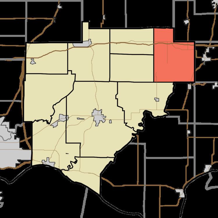
- Map of Pigeon Township IN USA
- History
- Geography
- Unincorporated towns
- Adjacent townships
- Cemeteries
- School districts
- Political districts
- References
Map of Pigeon Township, IN, USA
History
Pigeon Township was created out of Owen Township in September 1849. The township derives its name from the Little Pigeon River.
Geography
According to the 2010 census, the township has a total area of 40.58 square miles (105.1 km2), of which 40.47 square miles (104.8 km2) (or 99.73%) is land and 0.11 square miles (0.28 km2) (or 0.27%) is water.
Unincorporated towns
(This list is based on USGS data and may include former settlements.)
Adjacent townships
Cemeteries
The township contains these five cemeteries: Avery, Bruce, Chinn, Twin and Wetherill.
School districts
Political districts
References
Pigeon Township, Warrick County, Indiana Wikipedia(Text) CC BY-SA