
Vehicle registration JH Local time Thursday 6:12 AM | Time zone IST (UTC+5:30) Website ramgarh.nic.in Population 19,871 (2011) | |
 | ||
Weather 19°C, Wind W at 0 km/h, 66% Humidity | ||
Sirka is a census town in Ramgarh (community development block) of Ramgarh district in the Indian state of Jharkhand.
Contents
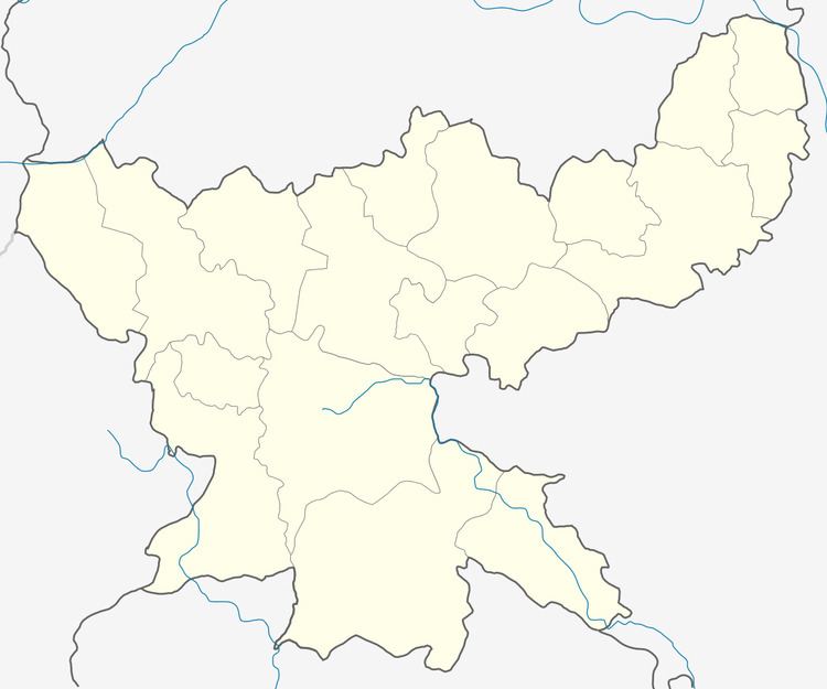
Map of Sirka, Jharkhand
Geography
Sirka is a colliery township in South Karanpura Coalfield located at 23°38′37″N 85°26′6″E.
Demographics
As per 2011 Census of India Sirka had a population of 19,871. There were 10,379 males and 9,492 females. Scheduled Castes numbered 4,482 and Scheduled Tribes numbered 2,586.
As per 2011 Census of India, Ramgarh Urban Agglomeration had a total population of 132,441, of which males were 70,871 and females 61,562.Ramgarh Urban Agglomeration is composed of Ramgarh Cantonment (Cantonment Board), Sirka (Census Town), Marar (CT) and Barkakana (CT).
At the 2001 India census, Sirka had a population of 20,170. Males constituted 53% of the population and females 47%. Sirka had an average literacy rate of 57%, lower than the national average of 59.5%: male literacy was 66% and female literacy 46%. In Sirka, 14% of the population was under 6 years of age.
Literacy
As per 2011 census the total number of literates in Sirka was 12,682 out of which 7,338 were males and 5,344 were females,
As per 2011 census the total number of literates in Ramgarh UA was 95,734 (82.97 per cent of total population) out of which 55,352 (89.57 percent of males) were males and 40,362 (75.35 percent of females) were females.
Economy
Sirka open cast and underground mines are operational under Argada Area of Central Coalfields Limited.