
Company Central Coalfields | Year of acquisition 1975 | |
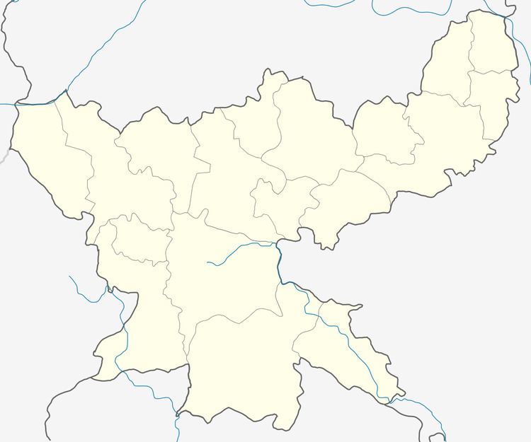 | ||
South Karanpura Coalfield is located in Ramgarh district in the Indian state of Jharkhand.
Contents
Overview
In 1917, L.S.S.O’Malley described the coalfields in the upper reaches of the Damodar as follows: "Near the western boundary of Jharia field is that of Bokaro, covering 220 square miles (570 km2), with an estimated content of 1,500 million tons; close by… is the Ramgarh field (40 square miles), in which, however, coal is believed to be of inferior quality. A still larger field in the same district is that called Karanpura, which extends over" 544 square miles (1,410 km2) "and has an estimated capacity of 9,000 million tons."
The Coalfield
The South Karanpura coalfield forms an elongated strip along the Chingara fault. Barkakana railway junction is situated at the south-east edge of the field. There are two coal beds:the upper one is 50 feet (15 m) thick and the lower one 38 feet (12 m) thick, separated by sandstone, shales and shaly coal, mixed coal and shale.
South Karnpura Coalfield covers an area of 195 square kilometres (75 sq mi) and has total coal reserves of 5,757.85 million tonnes.
Transport
In 1927, Bengal Nagpur Railway opened the 72-mile (116 km) Chandil-Barkakana section to traffic. In the same year the Central India Coalfields Railway opened the Gomoh-Barkakana line. It was extended to Daltonganj in 1929. Later these lines were amalgamated with East India Railway.Once the Koderma-Hazaribagh-Barkakana line is completed (expected in 2014), it will mean a new outlet for coal from the area.