
Country United States Elevation 257 m Local time Friday 10:52 PM | GNIS feature ID 0453449 Area 60.9 km² Population 596 (2010) | |
 | ||
Weather 6°C, Wind SW at 13 km/h, 98% Humidity | ||
Jackson Township is one of eleven townships in Howard County, Indiana, United States. As of the 2010 census, its population was 596 and it contained 233 housing units.
Contents
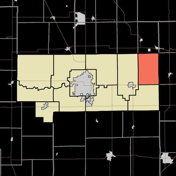
- Map of Jackson Township IN USA
- History
- Geography
- Unincorporated towns
- Former Settlements
- Adjacent townships
- Major highways
- References
Map of Jackson Township, IN, USA
History
Jackson Township was organized in 1853. It was named for President Andrew Jackson.
Geography
According to the 2010 census, the township has a total area of 23.5 square miles (61 km2), all land.
Unincorporated towns
Former Settlements
Adjacent townships
Major highways
References
Jackson Township, Howard County, Indiana Wikipedia(Text) CC BY-SA