
Country United States Elevation 259 m Population 1,029 (2010) | GNIS feature ID 0453918 Area 66.9 km² Local time Friday 2:02 PM | |
 | ||
Weather 7°C, Wind NW at 21 km/h, 95% Humidity | ||
Union Township is one of eleven townships in Howard County, Indiana, United States. As of the 2010 census, its population was 1,029 and it contained 419 housing units.
Contents
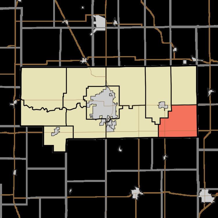
- Map of Union Township IN USA
- History
- Geography
- Unincorporated towns
- Adjacent townships
- Cemeteries
- Major highways
- Airports and landing strips
- References
Map of Union Township, IN, USA
History
Union Township was organized in 1853.
Geography
According to the 2010 census, the township has a total area of 25.83 square miles (66.9 km2), of which 25.8 square miles (67 km2) (or 99.88%) is land and 0.03 square miles (0.078 km2) (or 0.12%) is water.
Unincorporated towns
(This list is based on USGS data and may include former settlements.)
Adjacent townships
Cemeteries
The township contains three cemeteries: Jerome, New Hope and Union Civil.
Major highways
Airports and landing strips
References
Union Township, Howard County, Indiana Wikipedia(Text) CC BY-SA