
Prominence 248 m | Elevation 733 m | |
 | ||
Similar Rocky Peak, El Escorpión Park, Castro Peak, Mount McCoy, Mission Point | ||
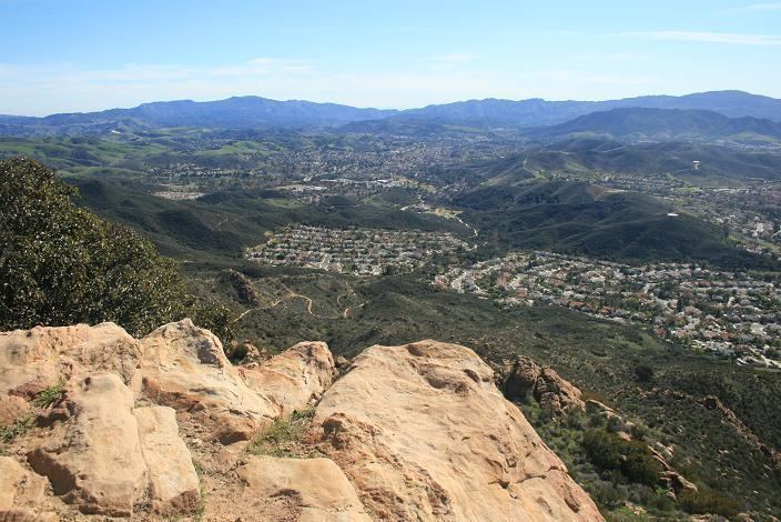
Simi Peak is a peak in the Simi Hills in Southern California. It is the highest peak in the Simi Hills, at 2,405 feet (732 m).
Contents
- Map of Simi Peak California 91377 USA
- GeographyEdit
- Nearby peaksEdit
- Parks and recreationEdit
- References
Map of Simi Peak, California 91377, USA
GeographyEdit
Simi Peak is located in eastern Ventura County, California, near the cities of Simi Valley to the north, and Thousand Oaks to the west.
Nearby peaksEdit
Chatsworth Peak is a peak that is also located in Simi Hills, on the far eastern edge. Escorpión Peak (Castle Peak) is closer in the hills, at 1,475 feet (450 m) and located in El Escorpión Park to the east.
Parks; and recreationEdit
The peak is in the Cheeseboro and Palo Comado Canyons Open Space park, part of the NPS Santa Monica Mountains National Recreation Area system. Simi Peak is accessible by trail, with trailheads in the towns of Simi Valley, Thousand Oaks, and Agoura Hills, and by trails connecting from the Upper Las Virgenes Canyon Open Space Preserve.