
 | ||
Sigmen Glacier (Bulgarian: ледник Сигмен, ‘Lednik Sigmen’ \'led-nik 'sig-men) is a 2.2 km long and 2 km wide glacier draining the northwest slopes of Brugmann Mountains on Liège Island in the Palmer Archipelago, Antarctica. It is situated northeast of Zbelsurd Glacier and southwest of Shterna Glacier, draining the west-southwest slopes of Vazharov Peak and the northwest slopes of Mount Kozyak, and flows northwestwards to enter Palakariya Cove.
Contents
Map of Sigmen Glacier, Antarctica
The glacier is named after the settlement of Sigmen in southeastern Bulgaria.
Location
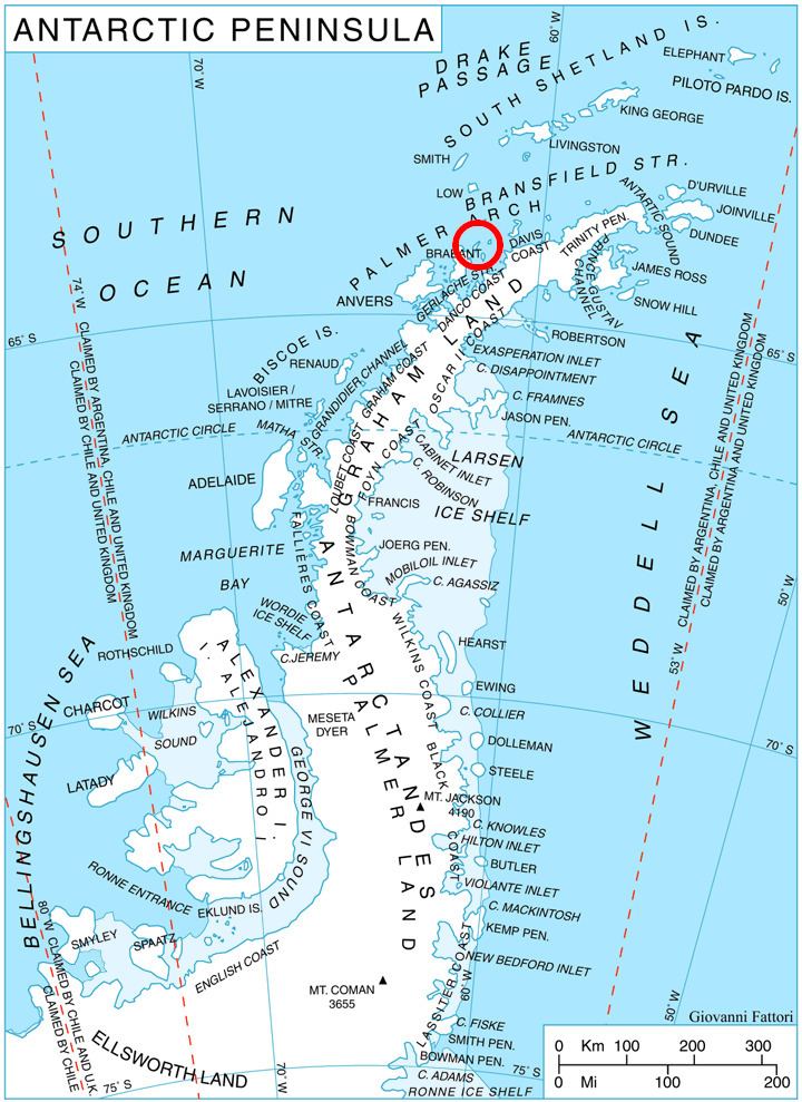
Sigmen Glacier is centred at 64°01′00″S 61°56′00″W. British mapping in 1978.
Maps
References
Sigmen Glacier Wikipedia(Text) CC BY-SA