
 | ||
Shterna Glacier (Bulgarian: ледник Щерна, ‘Lednik Shterna’ \'led-nik 'shter-na) is the glacier extending 3.6 km in east-west direction and 2.2 km in north-south direction on Liège Island in the Palmer Archipelago, Antarctica. It is situated northeast of Sigmen Glacier, draining the north slopes of Brugmann Mountains and flowing northwards into Boisguehenneuc Bay.
Contents
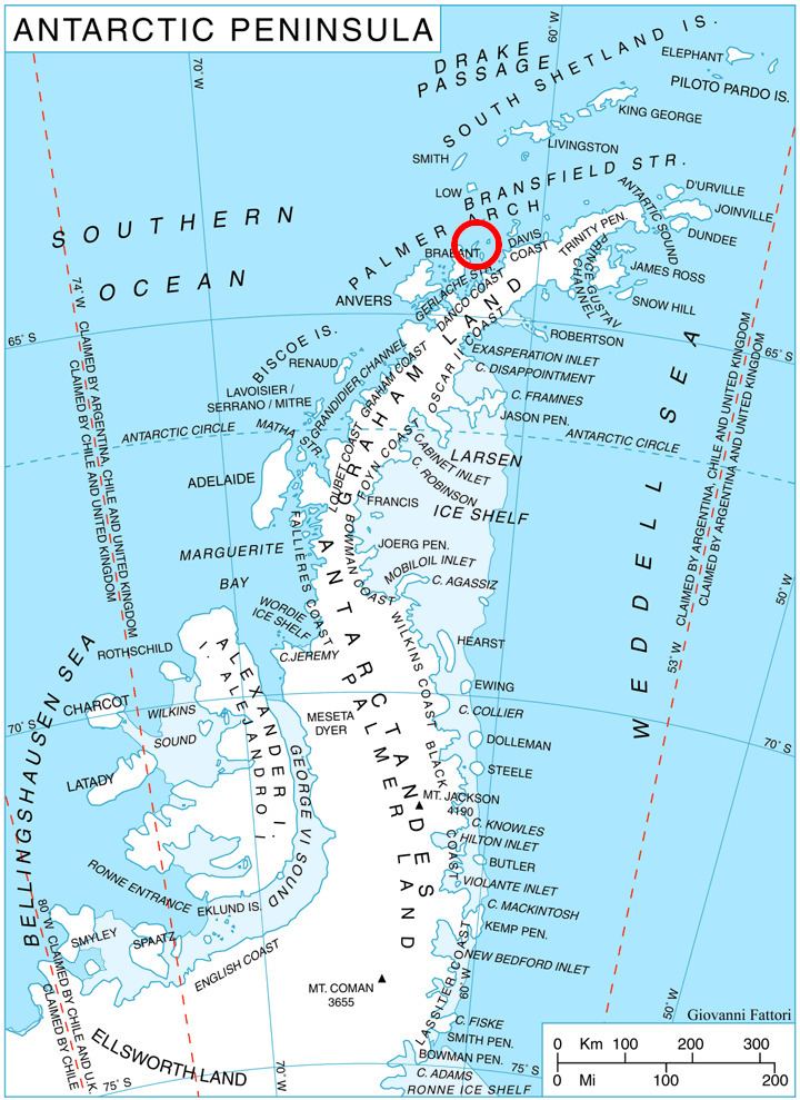
Map of Shterna Glacier, Antarctica
The glacier is named after the settlement of Shterna in Southern Bulgaria.
Location
Shterna Glacier is centred at 63°59′45″S 61°53′10″W. British mapping in 1978.
Maps
References
Shterna Glacier Wikipedia(Text) CC BY-SA