
Elevation 2,019 m Province Province of Teruel | Highest point Peñarroya | |
 | ||
Parent range Iberian System, Eastern zone Mountains Cabezo de las Cruces, Peñarroya Similar Sierra de Javalambre, Valdelinares, Sistema Ibérico, Serra Calderona, Penyagolosa | ||
Turismo en la sierra de g dar teruel
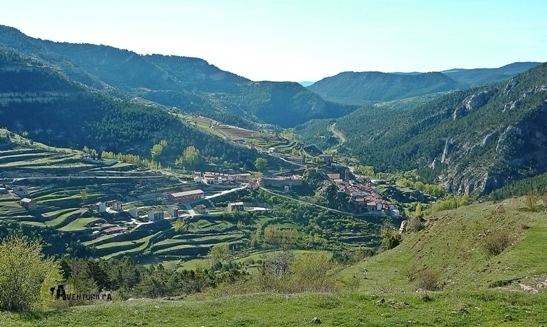
Sierra de Gúdar is a mountain range in the Gúdar-Javalambre and Maestrazgo comarcas of Aragon and the Alto Mijares comarca of the Valencian Community, Spain. The highest point in the range is Peñarroya (2,019 m).
Contents
- Turismo en la sierra de g dar teruel
- Map of Sierra de GC3BAdar 44413 Teruel Spain
- Marcha sierra de g dar 2016 puerto valdelinares
- Geography
- References
Map of Sierra de G%C3%BAdar, 44413, Teruel, Spain
Marcha sierra de g dar 2016 puerto valdelinares
Geography
This mountain range is located at the eastern end of the Iberian System and the Sierra de Nogueruelas is its easternmost prolongation. The Sierra Mayabona is another subrange of the Sierra de Gúdar.
Its summits are usually covered in snow in the winter and the 1710 m high Cabezo de las Cruces is one of the highest peaks of the Land of Valencia.
Mora de Rubielos is the most important town in this mountainous zone. The range is named after the town of Gúdar. Valdelinares, also a village in the area, is the highest town in Aragon.
References
Sierra de Gúdar Wikipedia(Text) CC BY-SA