
Time zone CET (UTC+1) Area 2,352 km² | Municipalities ListSee text Largest municipality Tarazona Population 7,689 (2015) | |
 | ||
Aramón Javalambre Gúdar-Javalambre is a comarca in Aragon, Spain. The most important town is Mora de Rubielos.
Contents
Map of G%C3%BAdar-Javalambre, Teruel, Spain
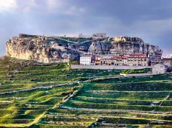
This comarca is located at the southern end of Aragon, bordering the Valencian Community. The area is mountainous with the summits of the Sistema Ibérico rising over towns with little or very little population in which the agricultural houses of the former villages have become summerhouses.
The Sierra de Gúdar and the Sierra de Javalambre dominate the landscape and give their name to the comarca. The summits are covered in snow in the winter. The Aramón Javalambre ski resort is located in this comarca.
Municipalities
References
Gúdar-Javalambre Wikipedia(Text) CC BY-SA