
Elevation 2,020 m (6,630 ft) Parent range Sistema Ibérico | ||
 | ||
Mountains Javalambre, Alto de las Barracas Similar Sierra de Gúdar, Javalambre ski, Valdelinares, Cerler, Sistema Ibérico | ||
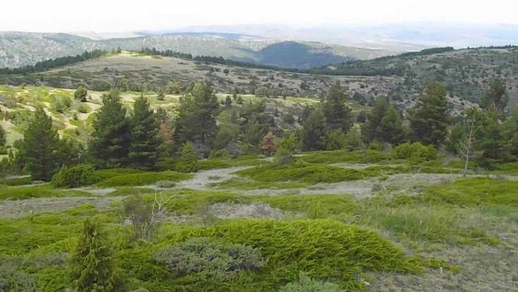
Subida al javalambre desde camarena de la sierra
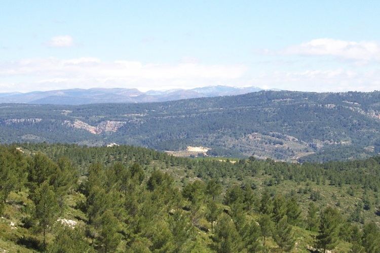
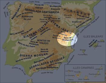
Sierra de Javalambre (Aragonese: Sierra de Chabalambre) is a 29 km (18 mi) long mountain range in the Gúdar-Javalambre comarca of Aragon and the Rincón de Ademuz and Serrans comarcas of the Valencian Community, Spain.
Contents
Highway N-234 winds its way between Sierra de Javalambre and Serra d'Espadà reaching the coast at Sagunto and the Autopista AP-7.
Location
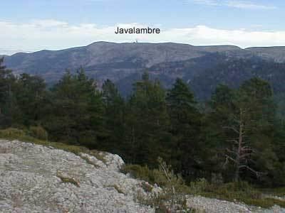
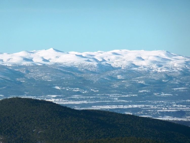
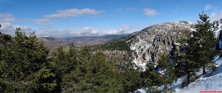
This mountain range is located at the eastern end of the Iberian System and the Sierra del Toro its ESE prolongation. Its highest point is Javalambre (2,020 m).
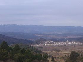
Its summits are usually covered in snow in the winter and the 1,839 m high Cerro Calderón or Alto de las Barracas is the highest peak of the Land of Valencia. Aramón Javalambre is a small ski resort in the range with 12.2 km of ski trails.
References
Sierra de Javalambre Wikipedia(Text) CC BY-SA