
Time zone PST (UTC+5) Area 7,796 km² | Number of Tehsils 4 | |
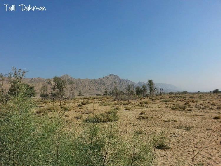 | ||
Historical sibi district of balochistan pakistan
Sibi (Balochi: سبی) is a district in the Balochistan province of Pakistan. The main mountain ranges are Zen, Bambore and Dungan. The climatic and topography of Sibi District is quite varied compared to other districts of Balochistan. It is also known as the "Hot spot" of Pakistan where the temperatures in the summer exceed far above normal 52.6 °C (126.7 °F). Until 2013 the district had two sub-divisions, Sibi and Lehri, further organized into tehsils and sub-tehsils: Sibi, Lehri, Kutmandi and Sangan.
Contents
- Historical sibi district of balochistan pakistan
- Map of Sibi Pakistan
- History
- Demographics
- Transport
- Railways
- Administration
- References
Map of Sibi, Pakistan
History
Until the end of the 15th century the district had been a dependency of Multan and had been part of Ghaznavid Empire ruled by petty chief named Nasiruddin Kubacha Around 1500 it was taken by Shah Beg of the Arghun Dynasty from Samma Dynasty of Sultan Of Sindh and so came under the control of Kandahar. However, during the period of Mughal rule the territory was once again ruled from Multan. In 1714 the territory was conquered by the Kalhoras Amirs of Sindh, but they were then displaced by the Durranis. During the short rule of the Durranis the local administrators were nominated from the Barozai Sub clan of the Panni Tribe. In the 19th century it fell under Marris and Bugtis hand. To finish rebellion in the area as raised by Marri & Bugti Tribes, the British signed the treaty with Khan of Kalat in late 19th century where under the Sibi, Shalkot and Chagai territory leased out to British India.
The District of Sibi was established in 1903 during British Rule its area was larger than the current district and lay between 27°55' and 30°38'N and 67°17' and 69°50'E lying south of Loralai District, north of the Upper Sind Frontier District, west of Dera Ghazi Khan District and east of Kachhi, Bolan Pass and Quetta- Pishin. The total area of the district was 11,281 square miles (29,220 km2), but this included Marri Bugti county (7,129 square miles) which not directly administered by the British, leaving 4,152 square miles (10,750 km2) that were directly administered by the British The population according to the 1901 census of India was 74,555 or 18 persons per square mile, the district contained four tehsils these were:
In 1974 the district was subdivided to create Naseerabad and Kohlu districts, in 1983 Dera Bugti District, and in 1986 Ziarat District. Until 2000, except for Naseerabad, these new districts were part of Sibi Division of Pakistan. In 2000 the third-tier "divisions" structure of government was dissolved. Two further new districts were cleaved out of its territory: Harnai in 2007 and Lehri in 2013.
Demographics
In the 1998 census, the Sibi subdivision (which does not completely correspond to the present extent of the district) had a population of 103,700. The major first languages spoken were Balochi (44%), Sindhi (20%), Pashto (11%) and Saraiki (8.2%).
Transport
Sibi is on the western edge of Pakistan and is well connected with the country by a wide network of roads, railways and airways.
Railways
Sibi Railway Station is a junction railway station. The railway track was lined in 1890s during the British era to link Sibi with rest of the country. The routes are Sibi from linked with Lahore, Karachi, Peshawar, Rawalpindi, Quetta, Multan, Faisalabad, Hyderabad, Rohri, Sukkur, Bahawalpur, Dera Ghazi Khan, Kot Adu, Gujrat, Jacobabad, Gujranwala, Khanewal, Nawabshah, Attock, Jhelum, and Nowshera.
Administration
Naseeb Ullah Panni