Country Pakistan Time zone PST (UTC+5) Area 7,610 km² | Number of Tehsils 3 | |
 | ||
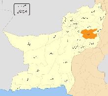
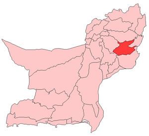
Kohlu (Urdu and Balochi: کوہلو) is a district of the Balochistan province of Pakistan. It is bounded in the north by Loralai District, Dera Bugti in the south, in the east Rojhan-Mazari and Sibi District in the west. According to the 1998 census of Pakistan it had a population of 99,850. The most widely spoken first languages are Balochi (91%) and Pashto (6.6%).
Contents
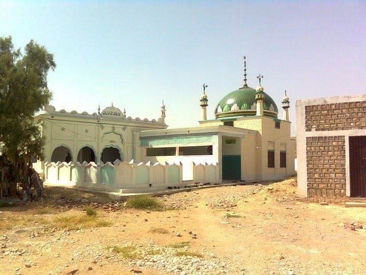
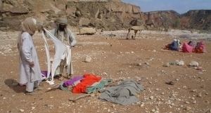
The area is mostly inhibited by a nomadic or semi-nomadic population, who camps with their flocks of sheep and moves with the seasons to find pasture. The area is generally mountainous and main localities are Kohlu, Fazal Chel, Maiwand, Kahan, Bijarwadh and Tadri. The district is divided in three tehsils, i.e., Kohlu, Maiwand and Kahan with eight union councils. Marri Baloch are the real owner of Kohlu District. The other tribe in Kohlu is the Zarkoon tribe. This tribe was once forced by the Bugti tribe to desert Kohlu but later Marris offered them a defensive and offensive alliance. According to a treaty the area surrounding Kohlu town was given to the Zarkoons by Marri Baloch. It is a land of brave and courageous Marri Baloch who stood firm against the British rule and never accepted their hegemony.
History
In the early 16th century, three main tribes, i.e., Bijarani, Ghazini and Loharani, emerged in small groups. Bijar Khan the cousin of Chakar E Azam founded the Bijarani clan, the Loharani from the Loharki area of Kohlu they named after that area, and Ghazini clan was founded by Buledi people came from that area. The tribe initially was a union of Baloch tribes who came into it and merged into Marri. The British army occupied Kahan in May 1840 but were soon forced by the Marris to evacuate. Despite a number of treaties signed by the British with the Marris, the law and order situation could not be improved, as the Marris thought of the British as illegal occupants of their territory. Thus everything related to the British men, allies or installation was supposed to be attacked.
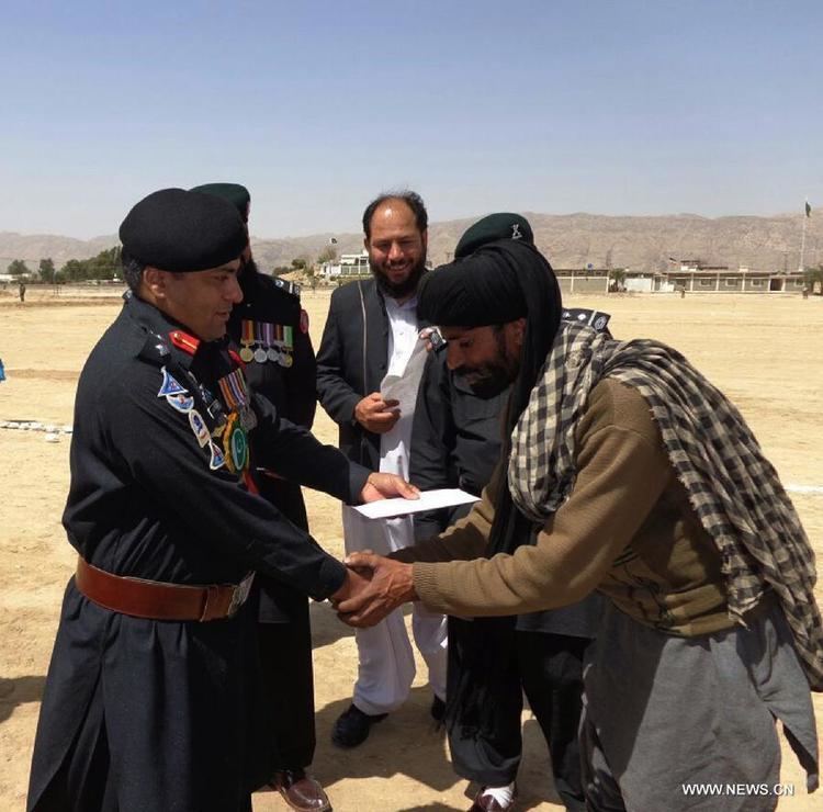
In 1898, Nawab Khair Bakhsh Marri with many of his tribesmen migrated to Kabul as a protest against the British occupation. However, he came back after some time unconditionally. After independence, the area remained a political agency. The tribal leadership started voicing for unity of Baloch tribes and for an independent Balochistan. National sentiments grew rapidly stronger. After the arrest of Khan of Kalat in 1958, the tribesmen started a guerrilla war, although on a limited scale, against the government. The army was sent to control the movement, but its presence further deteriorated the situation. Mir Sher Muhammad Bijarani, Marri (also known as General Sheroff) took the leadership of the Farrari Movement. This movement ended in 1969.
After the dismissal of the first elected government of Balochistan in 1973, a serious conflict started between the government and the political leadership of the province. While responding to the situation, the tribesmen in Kohlu started a large-scale insurgence in the area. After a strong military operation they migrated to Afghanistan with their leaders. Coincidentally, history repeated itself and Nawab Khair Bakhsh Marri (late) went into voluntary self–exile and reached Kabul in 1981.
Administrative divisions
The district of Kohlu is administratively subdivided into the following tehsils: