
Time zone PST (UTC+5) Local time Tuesday 3:41 AM | Elevation 130 m | |
 | ||
Weather 23°C, Wind N at 8 km/h, 32% Humidity Neighborhoods Kalat Colony, Qasai Mohallah, Gulshan Colony | ||
Sibi (Balochi: بلوچ ) (Urdu: سِبی) is a city of Balochistan province of Pakistan. The city is located at 29°33'0N 67°52'60E at an altitude of 130 metres (429 feet) and is headquarters of the district and tehsil of the same name.
Contents
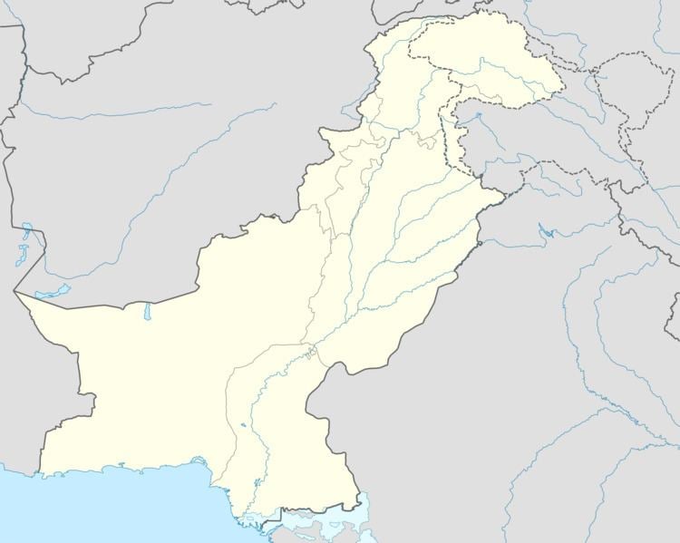
Map of Sibi, Pakistan
Sindhi rap song 2k17 sibi rapper boy
History
Besides the town of Sibi, the district includes the hill station of Ziarat, the summer residence of the government and The Victoria Memorial Hall, now known as Jirga Hall, which was built in 1903.
As of 1963, nine percent of Sibi's population were Hindu.
Climate
Precipitation is light and mainly falls in two distinct periods: in the early spring in March and April, and in the monsoon in July and August.
References
Sibi Wikipedia(Text) CC BY-SA