
Country Pakistan Number of Tehsils 2 | Province Punjab Time zone PST (UTC+5) | |
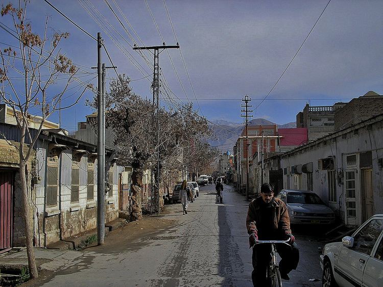 | ||
Fort munro is a hill station in dera ghazi khan district punjab pakistan by tooorz
Dera Ghazi Khan (ضِلع ڈيره غازى خان), is a district in the Punjab province of Pakistan. Its capital is Dera Ghazi Khan city. The district contains a long narrow strip of country, 198 km. in length, sloping gradually from the hills which form its western boundary to the riverIndus on the east.
Contents
- Fort munro is a hill station in dera ghazi khan district punjab pakistan by tooorz
- Map of Dera Ghazi Khan District Pakistan
- Administration
- History
- Dera Ghazi Khan Tehsil
- Demography
- References
Map of Dera Ghazi Khan District, Pakistan
The Sulaiman Mountains rise to a height of 10,000 feet (3,000 m) in the north of the district.
Administration
The district is divided into two tehsils and one De-Excluded Area which are divided into a total of sixty Union Councils:
History
The city was founded at the close of the 15th century and named after Nawab Ghazi Khan Mirani, son of Nawab Haji Khan Mirani, a Balochi chieftain, who had declared independence from the Langah Dynasty's Sultans of Multan. Together with two other Deras i.e. settlements, Dera Ismail Khan and Dera Fateh Khan, it gave its name to Derajat. Derajat eventually came into the possession of the British after the Sikh War in 1849 and was divided into two districts: Dera Ghazi Khan and Dera Ismail Khan. After the independence, many of the city's Hindu residents settled in Derawal Nagar colony of Delhi, India. The district of Rajanpur was later carved out of the Dera Ghazi Khan district. Some of them also settled in various part of India, including Bhiwani, Delhi, Jhansi, Ranchi, Ambala and Haridwar.
Dera Ghazi Khan was founded in the 15th century by Amar, a Tribal Sardar of Mirani tribe. The old city of Dera Ghazi Khan was situated at the distance of 10 miles (16 km) towards east of the present city. In 1908, the old city of Dera Ghazi Khan was abolished due to heavy flood in the river Indus. Resultantly the existing city of Dera Ghazi Khan came into being in the year 1910. The city is divided into different blocks. The British ruler established colonial system in the continent and declared Dera Ghazi Khan as district in the year 1849. General Court Land was appointed as first Deputy Commissioner of this District. Keeping in view the rapidly increasing population of the area and deteriorating law and order situation district Dera Ghazi Khan was divided in two districts i.e. Dera Ghazi Khan and Rajanpur. Presently there are two revenue sub division of the District. A tribal belt/political area spread along with western side of the District. Mirani became extinct three centuries ago.
Based on the surveys of 2004–2005, Dera Ghazi Khan district is considered one of the twenty poorest districts of Pakistan with about 51% of its population living under the poverty line.
Dera Ghazi Khan Tehsil
As well as being district capital, Dera Ghazi Khan is also the capital of Dera Ghazi Khan Tehsil, an administrative subdivision of the district. The city of Dera Ghazi Khan is itself administratively subdivided into seven Union Councils.
Demography
Majority of district is Baloch ethnic (Saraiki & Balochi speaking) & Saraiki also Punjabi minority is existing According to the 1998 census, the most widely used first language is Saraiki, spoken by 80% of the population, followed by Balochi with 14%, Urdu with 3.2% and Punjabi with 1.3%.