
Area 9.14 km² | Time zone EET (UTC+2) | |
 | ||
Shyriaieve (Ukrainian: Ширяєве, Russian: Ширяево) is an urban-type settlement in the west of Odessa Oblast, Ukraine. It serves as the administrative center of Shyriaieve Raion. Population: 6,766 (2015 est.)
Contents
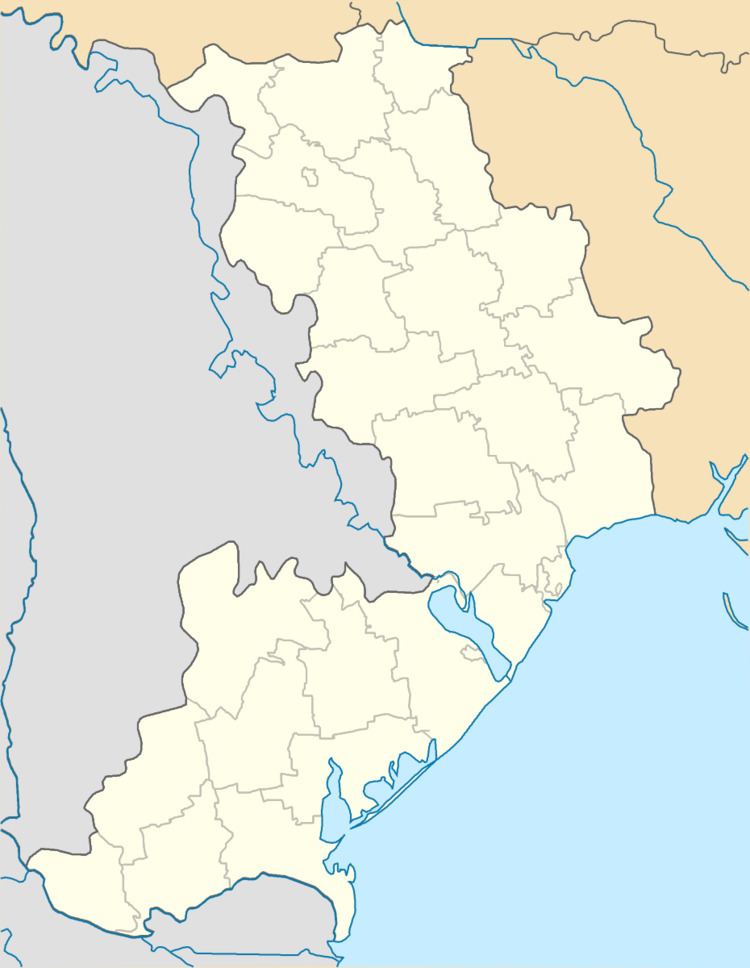
Map of Shyryajeve, Odessa Oblast, Ukraine
Shyriaieve is located on the banks of the Velykyi Kuyalnik River.
History
Shyriaieve was founded in the end of the 18th century as Stepanovka (Stepanivka), named after the landowner Stepan Shyriay. The area was settled after 1792, when the lands between the Southern Bug and the Dniester were transferred to Russia according to the Iasi Peace Treaty. The area was included in Tiraspol Uyezd, which belonged to Yekaterinoslav Viceroyalty until 1795, Voznesensk Viceroyalty until 1796, Novorossiya Governorate until 1803, and Kherson Governorate until 1920. In 1834, the area was transferred to newly established Ananyiv Uyezd. In the middle of the 19th century it was formally renamed Shiryayevo (Shyriaieve).
On 16 April 1920, Odessa Governorate split off, and Ananyiv Uyezd was moved to Odessa Governorate, where it was abolished in 1921. In 1923, uyezds in Ukrainian Soviet Socialist Republic were abolished, and the governorates were divided into okruhas.
Transportation
Shyriaieve has access to the M05 highway (Ukraine) which connects Kiev and Odessa. Other roads connect it with Kotovsk, Ananyiv, and Berezivka.