
Country Ukraine Admin. center Shyriaieve Postal index 66800—66864 Founded 1965 Administrative center Shyriaieve Region Odessa Oblast | Established 1935 Time zone EET (UTC+2) Area 1,502 km² Population 27,207 (2013) Area code 4858 | |
 | ||
Subdivisions List
0 — city councils
1 — settlement councils
18 — rural councils
Number of localities:
0 — cities
1 — urban-type settlements
72 — villages
0 — rural settlements | ||
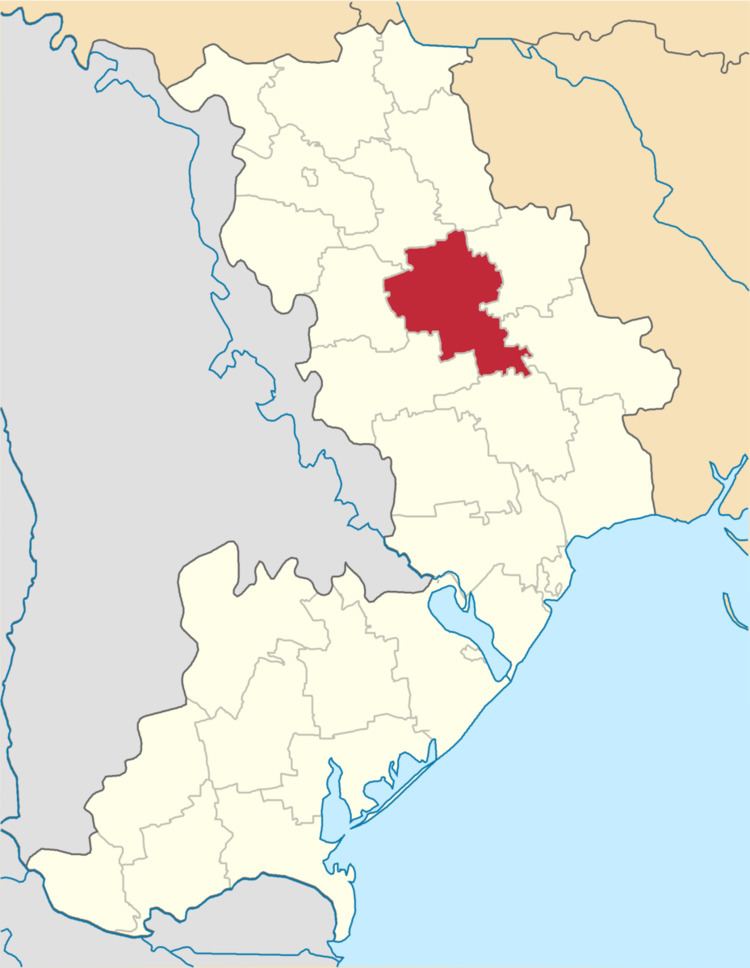
Shyriaieve raion
Shyriaieve Raion (Ukrainian: Ширяївський район) is a raion (district) in Odessa Oblast of Ukraine. Its administrative center is the urban-type settlement of Shyriaieve. Population: 27,207 (2015 est.)
Contents
Map of Shyryaivs'kyi district, Odessa Oblast, Ukraine
History
Shyriaieve was founded in the end of the 18th century as Stepanovka (Stepanivka), named after the landowner Stepan Shyriay. The area was settled after 1792, when the lands between the Southern Bug and the Dniester were transferred to Russia according to the Iasi Peace Treaty. The area was included in Tiraspol Uyezd, which belonged to Yekaterinoslav Viceroyalty until 1795, Voznesensk Viceroyalty until 1796, Novorossiya Governorate until 1803, and Kherson Governorate until 1920. In 1834, the area was transferred to newly established Ananyiv Uyezd. In the middle of the 19th century Stepanivka was formally renamed Shiryayevo (Shyriaieve).
On 16 April 1920, Odessa Governorate split off, and Ananyiv Uyezd was moved to Odessa Governorate, where it was abolished in 1921. In 1923, uyezds in Ukrainian Soviet Socialist Republic were abolished, and the governorates were divided into okruhas.