
Population 445 (2013 est) State electorate(s) North West | President Neil Grinham Area 28,215 km² | |
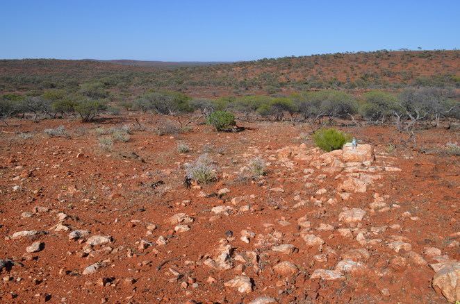 | ||
The Shire of Yalgoo is a local government area in the Mid West region of Western Australia, about 500 kilometres (311 mi) north of the state capital, Perth. The Shire covers an area of 28,215 square kilometres (10,894 sq mi), and its seat of government is the town of Yalgoo.
Contents
- Map of Yalgoo WA Australia
- History
- Wards
- Towns and localities
- Pastoral station names associated with Yalgoo
- Notable councillors
- References
Map of Yalgoo, WA, Australia
History
The original Yalgoo Road District was gazetted in 1896, and merged into Mullewa in August 1911. The Upper Murchison Road District, gazetted in 1907, was renamed to Yalgoo in 1912. On 1 July 1961, it became a shire under the Local Government Act 1960.
Wards
The Shire is no longer divided into wards and the seven councillors sit at large.
Towns and localities
Pastoral station names associated with Yalgoo
Note that some of these stations may lie outside of the local government boundary.
Notable councillors
References
Shire of Yalgoo Wikipedia(Text) CC BY-SA