
President Bethel Walton Area 32,882 km² Population 116 (2013 est) | State electorate(s) Kalgoorlie Federal division Division of Kalgoorlie | |
 | ||
Shire of sandstone
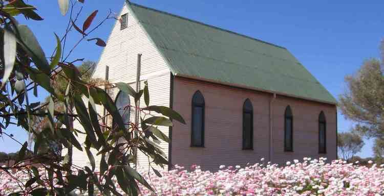
The Shire of Sandstone is a local government area in the eastern Mid West region of Western Australia, about 740 kilometres (460 mi) northeast of the state capital, Perth. The Shire covers an area of 32,882 square kilometres (12,696 sq mi), and its seat of government is the town of Sandstone.
Contents
Map of Sandstone, WA 6639, Australia
History
Gold was found in the surrounding area in the late 1800s with the population of the district growing to 6,000 - 8,000 people during this time.
The Black Range Road Board was gazetted in 1897, receiving some land from North Coolgardie in 1908, and Leonora-Mount Malcolm in 1930. On 1 July 1961, it was renamed Sandstone and became a Shire Council following changes to the Local Government Act.
Wards
The shire is no longer divided into wards and the six councillors sit at large. According to the Western Australian Electoral Commission, only 65 people were registered to vote as of September 2006 within the shire's area.