
Established 1909 State electorate(s) Wagin Founded 1909 | Postcode(s) 6392 Elevation 281 m Postal code 6392 | |
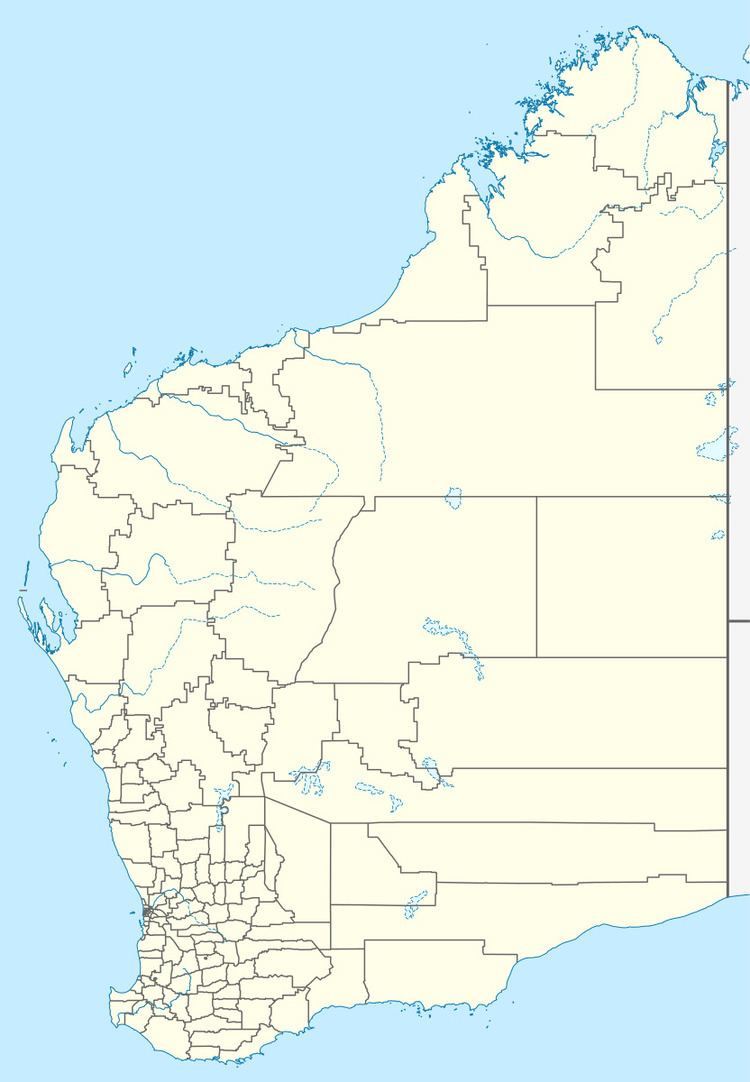 | ||
Location 212 km (132 mi) South of Perth11 km (7 mi) West of Darkan | ||
Boolading is a location located along the Coalfields Road between Darkan and Collie in the Wheatbelt region of Western Australia.
The name is Aboriginal in origin but the meaning is unknown. The word Boola means plenty or abundance of in the local dialect. Boolading began as a railway siding when the WAGR constructed in 1907. The townsite was later gazetted in 1909 and the name was suggested by the district surveyor after a property owned by an acquaintance of his, William Gibbs. Initially spelt Bulading the spelling was changed in 1955.
Located along the Collie River, the area is now good pastureland and suitable for a variety of agricultural practices.
Land was first opened for selection in the area in 1894. A water-hole known as Boolading is also near the location, this was the site chosen by the first settlers in the area, William and Sarah-Ann Gibbs who settled in 1874 and built a split slab home which was later replaced by a mud brick home, that still stands today, in 1899. The home was also used as a place for shooters to store skins until a buyer was found. Gibbs later became a property guide and helped survey the Collie - Narrogin railway line.
A telephone exchange operated in Boolading from 1925 until 1952.