
Population 5,182 (2013 est) President Cr Ken Clements Website Shire of Plantagenet Area 4,792 km² | Established 1871 Founded 1871 | |
 | ||
Points of interest Porongurup National Park, Granite Skywalk, Castle Rock - Western, Nancy's Peak - Porongur, Talyuberlup Peak | ||
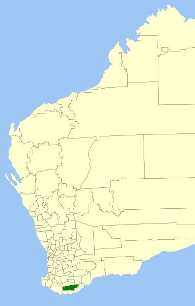
The Shire of Plantagenet is a local government area in the Great Southern region of Western Australia, managed from the town of Mount Barker, 360 kilometres (224 mi) south of Perth and 50 kilometres (31 mi) north of Albany. The shire covers an area of 4,792 square kilometres (1,850 sq mi) and includes the communities of Narrikup, Rocky Gully, Kendenup and Porongurup.
Contents
Map of Plantagenet, WA, Australia
The region is noted for agriculture, principally wheat, sheep (wool and meat), beef cattle, wine, canola and olives. Silviculture, especially plantations of Tasmanian Blue Gums (Eucalyptus globulus), was a major industry in the shire although some recent silviculture enterprises (Great Southern Plantations and Timbercorp) have gone into receivership. Local tourist attractions include the Porongurup Range and Stirling Range, a museum based within the original police station, and other pioneer structures such as St Werburghs Chapel.
History
The Plantagenet Road Board was gazetted on 24 January 1871 as one of 18 elected boards to manage roads and services in Western Australia, and initially included a reasonably large section of the Great Southern region. On 1 July 1961, it became the Shire of Plantagenet following the enactment of the Local Government Act.
Wards
The Shire was redivided into five wards in 2001. The shire president is elected from amongst the councillors.
Towns
Infrastructure
The shire has ownership and responsibility of the Great Southern Saleyards, a state-of-the-art facility that was built following the closure of the Mount Barker Saleyards and the Albany Town Saleyards, and joint development by both councils around 2002. Due to cost issues, the City of Albany sought to dispose of its share of the facility, and an agreement was made to transfer full ownership and responsibility to the Shire of Plantagenet.
The Mount Barker Power Company Pty Ltd has constructed slightly to the north of the township a three Enercon turbine 73m high windfarm costing $8.3 million. The turbines are on private land and this development is a private energy generation selling power into the state grid. The windfarm is one of the very few to have been completed to service a local community's power needs since the State of Western Australia set a renewable energy target. The site is on private property and is projected to generate about 8,400 megawatt hours of electricity each year from three 800 kilowatt turbines.
Services
The Shire of Plantagenet provides the usual services that Western Australian local governments would supply. Rubbish collection is provided by Warren Blackwood Waste. A tip is located on O'Neill Road south of Mount Barker and transfer stations are at Kendenup, Porongurup and Narrikup.
Ranger Services and a Community Emergency Services Manager (CESM) are based in the Shire Office in Mount Barker. The CESM assists the local Bush Fire Brigades and State Emergency Service unit. The Bush Fire Brigades are located at Porongurup, Porongurup South, Narrikup, Narpyn, Kendenup, Woogenellup, Rocky Gully, Perrilup, Denbarker, Forest Hill and Middle Ward. South Stirlings BFB works closely with the Plantagenet Shire but is actually registered with Albany City Council.
A Local Emergency Management Committee and a Roadwise Committee are just two examples of how the Shire engages with the community.