
Population 369 (2011 census) Postcode(s) 6397 State electorate(s) Blackwood-Stirling Founded 1951 Local time Tuesday 1:55 PM | Established 1951 Elevation 243 m Postal code 6397 | |
 | ||
Location 385 km (239 mi) south of Perth55 km (34 mi) southwest of Cranbrook62 km (39 mi) west of Mount Barker Weather 20°C, Wind E at 26 km/h, 44% Humidity | ||
Rocky Gully is a small town in the Great Southern region of Western Australia.
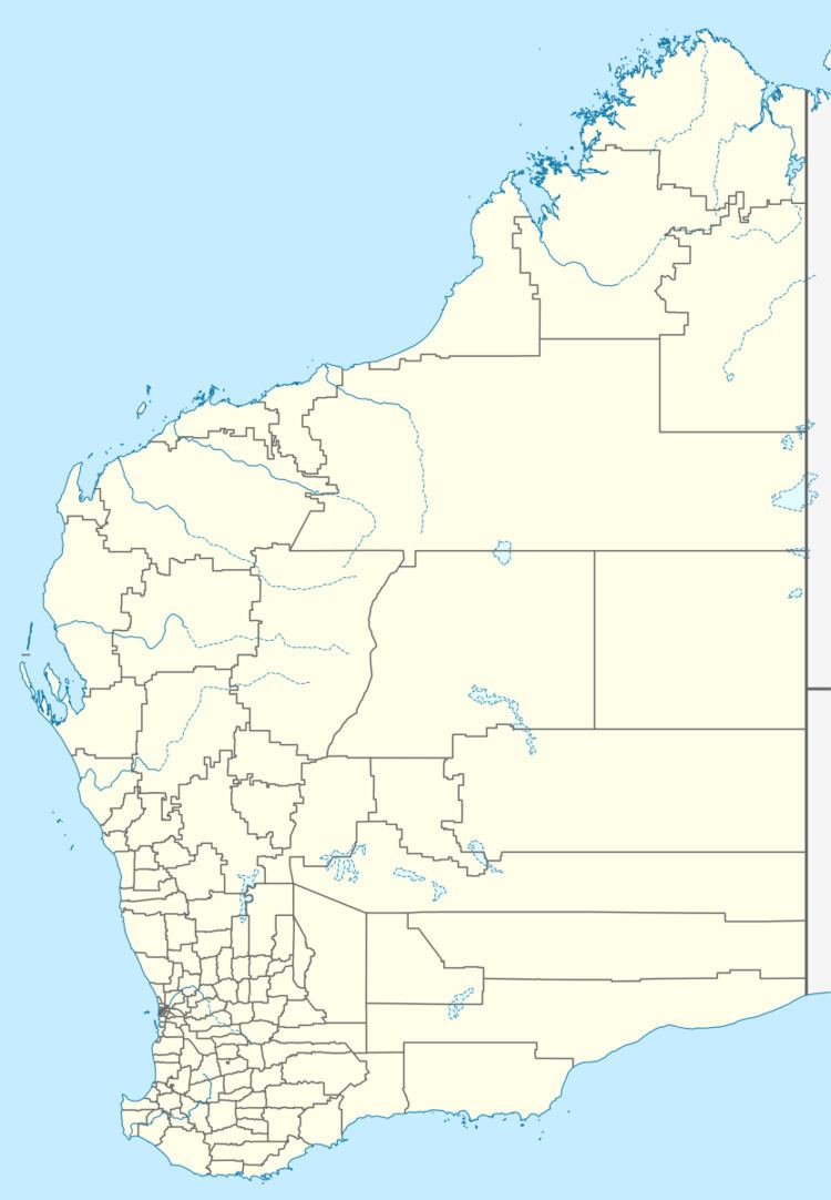
Map of Rocky Gully WA 6397, Australia
The town is located along the Muirs Highway, about 8 kilometres (5.0 mi) from the Kent River.
A site was selected for a town when land in the area was sub-divided in the 1930s. By 1951 a small community was established as part of the War Service land settlement scheme and the townsite was gazetted.
References
Rocky Gully, Western Australia Wikipedia(Text) CC BY-SA