
Population 515 (2006 census) Postcode(s) 6326 State electorate(s) Blackwood-Stirling Local time Tuesday 8:15 AM | Established 1900s Postal code 6326 | |
 | ||
Location 18 km (11 mi) S of Mount Barker32 km (20 mi) NW of Albany Weather 14°C, Wind E at 16 km/h, 71% Humidity | ||
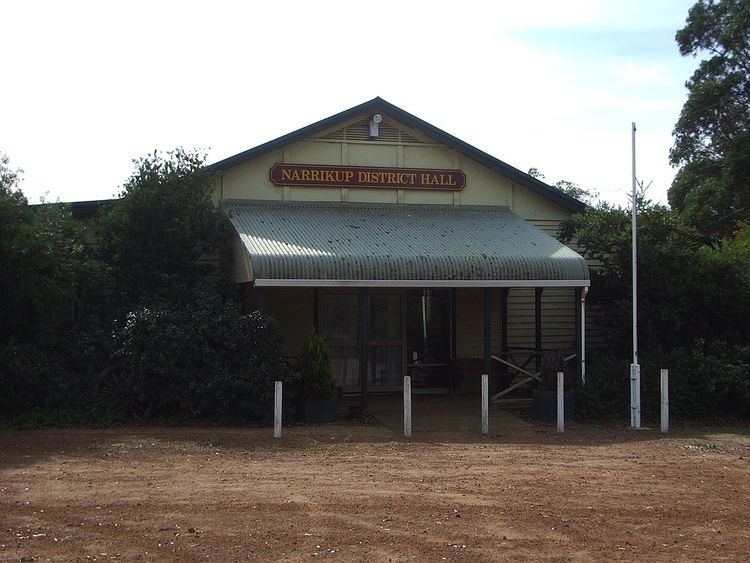
Narrikup is a small town between Albany and Mount Barker in the Great Southern region of Western Australia. At the 2006 census, Narrikup had a population of 515.
Map of Narrikup WA 6326, Australia
The name Narrikup comes from the Aboriginal name of a nearby brook which is thought to mean "place of abundance".
The area was visited by Thomas Wilson who travelled from Albany in 1829 when he camped on the banks of the stream west of the current townsite.
The town is located on the Great Southern Railway line which was completed in this area in 1889, although initially the siding was named Hay River.
A reserve for the townsite was put aside in 1901 and in 1905 20 lots were surveyed; the townsite was finally gazetted in 1907.
References
Narrikup, Western Australia Wikipedia(Text) CC BY-SA