
Population 3,011 (2011 census) Local time Tuesday 11:35 PM | Postcode(s) 6073 State electorate(s) Swan Hills Postal code 6073 Federal division Division of Pearce | |
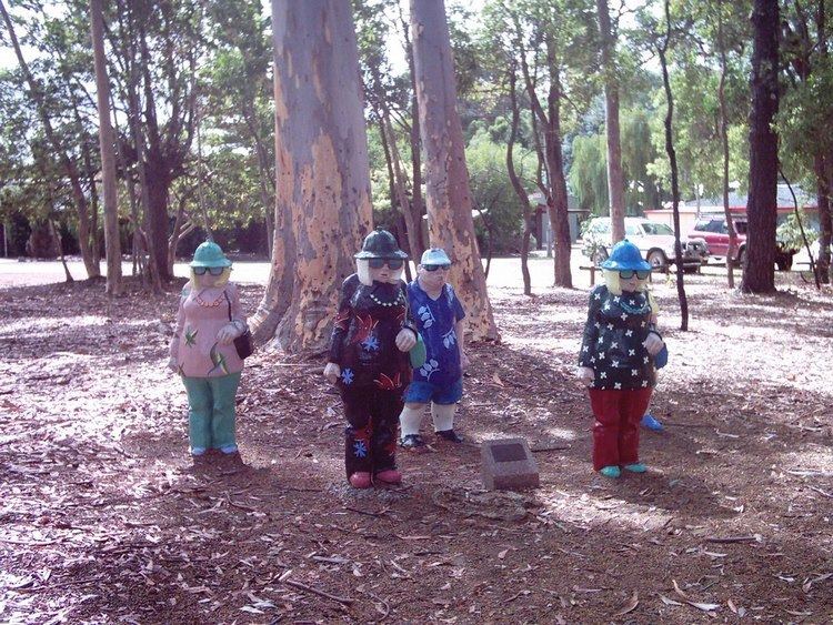 | ||
Weather 17°C, Wind E at 16 km/h, 83% Humidity Points of interest Sculpture Park, Beelu National Park, North Ledge | ||
Mundaring is a suburb located 34 km east of Perth on the Great Eastern Highway. The suburb is located within the Shire of Mundaring.
Contents
- Map of Mundaring WA 6073 Australia
- Newspapers
- Railway
- Mundaring Geophysical Observatory
- Environment
- References
Map of Mundaring WA 6073, Australia
The Aboriginal name of the area 'Mindah-lung', said to mean 'a high place on a high place', was anglicised to become 'Mundaring'.
The Mundaring area is also considered to be part of the Perth Hills area.
Newspapers
The Mundaring region is currently well served by weekly and monthly newspapers:
Earlier newspapers in the area included:
Railway
The only railway line current in the Mundaring Shire – is the third route of the Eastern Railway which passes through Bellevue and Swan View. The railway routes mentioned below – first route and second route are no longer operational – and constitute sections of the Railway Reserve Heritage Trail. The Eastern Railway passed through Mundaring on its first route through to Chidlow. Mundaring railway station, and the branch railway leading from it – the Mundaring Weir Branch Railway were significant locations for the construction of the Mundaring Weir. Following the construction of the second route of the Eastern Railway, the Mundaring line served as an alternative to the second route at the time of accidents and derailments, until its closing to traffic in 1954. The line through Mundaring was known as the Mundaring Loop to railway administration in its later years of operation, while in earlier years it was known as Smiths Mill Branch (the earlier name for Glen Forrest). The line serves a small population but has played an integral in the development and history of Maundering.
Mundaring Geophysical Observatory
Mundaring was the location of a Bureau of Mineral Resources Geophysical Observatory from 1959 to April 2000 The annual reports from the Observatory constituted the seismic record of the state of Western Australia for that period of time as well as reports and summaries of activity
Environment
The town lies within the Mundaring-Kalamunda Important Bird Area, so identified by BirdLife International because of its importance as a non-breeding season roost site and foraging base for Long-billed Black Cockatoos.