
President Ross Pigdon Area 13,623 km² Population 327 (2006) | State electorate(s) North West | |
 | ||
Shire of cue on postcards tv series
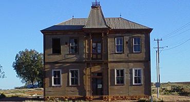
The Shire of Cue is a local government area in the Mid West region of Western Australia, about 420 kilometres (261 mi) east-northeast of the port city of Geraldton and about 650 kilometres (404 mi) north-northeast of the state capital, Perth. The Shire covers an area of 13,623 square kilometres (5,260 sq mi), and its seat of government is the town of Cue.
Contents
- Shire of cue on postcards tv series
- Map of Cue WA 6640 Australia
- History
- Wards
- Towns and localities
- Notable councillors
- References
Map of Cue, WA 6640, Australia
History
Cue initially existed as two entities - the Cue Road Board, gazetted in December 1895, and the Daydawn Municipal Council, gazetted in December 1894. In 1912, they merged to form the Cue-Daydawn Road Board, which was renamed Cue in 1930. On 1 July 1961, it became a Shire Council following changes to the Local Government Act.
Wards
The shire is divided into three wards:
Towns and localities
Notable councillors
References
Shire of Cue Wikipedia(Text) CC BY-SA