
Population 554 (2010) Founded 1885 Mayor Ernie Camp | Established 1885 Website Shire of Burke Area 40,127 km² Council seat Burketown | |
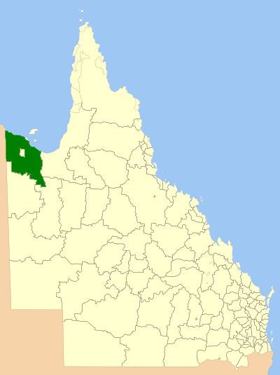 | ||
The Shire of Burke is a local government area in North West Queensland, Australia. The shire lies on the south coast of the Gulf of Carpentaria and abuts the border with the Northern Territory. It covers an area of 40,126.8 square kilometres (15,493.0 sq mi), and has existed as a local government entity since 1885. The major town and administrative centre of the shire is Burketown. The shire and town and the Burke River passing through all are named in honour of ill-fated explorer Robert O'Hara Burke.
Contents
Map of Burke, QLD, Australia
From the months of August to November, a rare meteorological phenomenon known as "Morning Glory" – long, tubular clouds, some up to 1000 km in length – are often observed in the skies above Burke Shire
The shire contains Boodjamulla National Park (formerly called Lawn Hill National Park) and the World Heritage Site Riversleigh fossil fields. The Aboriginal Shire of Doomadgee lies inside Burke Shire to the west of Burketown. It also includes Gregory Downs.
History
The Doonmunya Division was created on 11 November 1879 as one of 74 divisions around Queensland under the Divisional Boards Act 1879 with a population of 396. However, the divisional board appeared to be completely inactive, perhaps because the division was so large (being the area surrounding the southern part of the Gulf of Carpentaria) and was very sparsely settled. Nonetheless some of the citizens were unhappy about this. Consequently, on 11 January 1883, the Doonmunya Division was abolished and a new Carpentaria Division was created to replace it.
However, once the Carpentaria Divisional Board became operational, the residents of the Burketown area became concerned that their rates were likely to be spent on the Normanton area rather than their own and began to agitate for their own division west of the Leichhardt River. On 30 January 1885, the Burke Division was created from lands formerly within the Carpentaria Division with some adjustments to the Cloncurry Division.
On 31 March 1903, Burke Division became the Shire of Burke.
Towns and localities
The Shire of Burke includes the following settlements:
Chairmen and mayors
Population
The populations below exclude the Aboriginal community of Doomadgee, which hovered between 800-1000 residents for most of the period under consideration.