
Population 1,258 (2011 census) State electorate(s) Mount Isa Local time Friday 10:01 PM Federal division Division of Kennedy | Postcode(s) 4830 Postal code 4830 Number of airports 1 | |
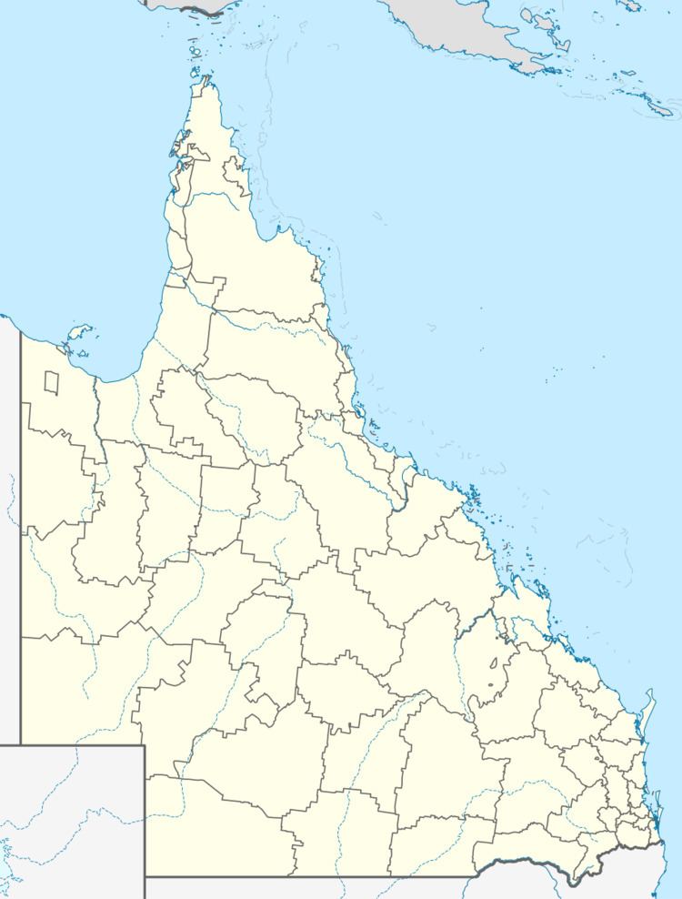 | ||
Location 2,246 km (1,396 mi) NW of Brisbane
996 km (619 mi) W of Cairns
514 km (319 mi) N of Mount Isa
141 km (88 mi) W of Burketown LGA(s) Doomadgee Aboriginal Shire Council Weather 28°C, Wind N at 8 km/h, 79% Humidity | ||
Doomadgee Aboriginal Mission, originally known as Dumaji, was on Bayley Point on the Gulf of Carpentaria. In 1936, after being destroyed by a cyclone, the community was relocated to Nicholson River. In 1985 the population of Doomadgee was approximately 800. Doomadgee Post Office opened on 2 January 1969.
Map of Doomadgee QLD 4830, Australia
At the 2011 census, Doomadgee had a population of 1,258.
As at 2006 the Queensland government, under its commitment to remote locations, has increased its services to Doomadgee. As of July 2006, eight of 25 Queensland government departments are represented in Doomadgee:
Queensland Corrective Services is the latest addition to the Queensland government family in Doomadgee with the permanent appointment of two probation and parole officers. One of them is responsible for offenders' compliance with their orders and prosecuting those who contravene their orders. The other officer is responsible for delivering departmental programs to address the criminogenic needs of offenders and as ordered by the courts.
From January 2007, the Doomadgee Aboriginal Shire Council in the area was given full shire status.