
Population 357 (2015) State electorate(s) Warrego Shire of Barcoo Founded 1887 | Established 1887 Website Shire of Barcoo Area 62,001 km² Mayor Bruce Scott | |
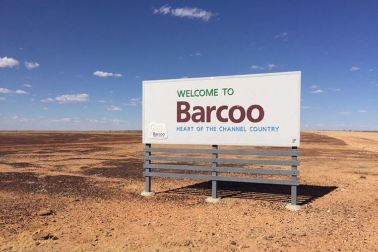 | ||
The Shire of Barcoo is a local government area in Central West Queensland, Australia.
Contents
Map of Barcoo, QLD, Australia
It covers an area of 62,000.7 square kilometres (23,938.6 sq mi), and has existed as a local government entity since 1887. It is named for the Barcoo River which reaches a confluence with the Thomson River in the shire to form Cooper Creek.
The major industry in the shire is beef production and some opal mining. There has been some development of the known oil and gas reserves in the region.
History
The Barcoo Division was created on 24 December 1887 out of the eastern part of the Diamantina Division, and was subject to the Divisional Boards Act 1887.
In 1927, the council met at Stonehenge.
With the passage of the Local Authorities Act 1902, Barcoo Division became the Shire of Barcoo on 31 March 1903.
It subsequently lost areas when the shires of Isisford (1908) and Quilpie (1930) were incorporated.
Its present mayor, Bruce Scott, has been in office since 2000.
Towns and localities
The Shire of Barcoo includes the following settlements: